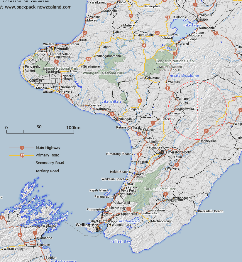
Map showing location of Kawhatau
LINZ description: Trig Station (Geodetic Code 1237) on the highest peak in the Hikurangi Range. 2.4km South of Hikurangi. Ruahine Survey District.
Latitude: -39.817767
Longitude: 176.085427
Northing: 5587912.7
Easting: 1864093.1
Land District: Wellington
Feat Type: Trig Station
Latitude: -39.817767
Longitude: 176.085427
Northing: 5587912.7
Easting: 1864093.1
Land District: Wellington
Feat Type: Trig Station

Scroll down to see a more detailed road map and below that a topographical map showing the location of Kawhatau. The road map has been supplied by openstreetmap and the topographical map of Kawhatau has been supplied by Land Information New Zealand (LINZ).
Yes you can use the top static map for you school/university project or personal website with a link back. Contact me for any commercial use.
[ A ] [ B ] [ C ] [ D ] [ E ] [ F ] [ G ] [ H ] [ I ] [ J ] [ K ] [ L ] [ M ] [ N ] [ O ] [ P ] [ Q ] [ R ] [ S ] [ T ] [ U ] [ V ] [ W ] [ X ] [ Y ] [ Z ]