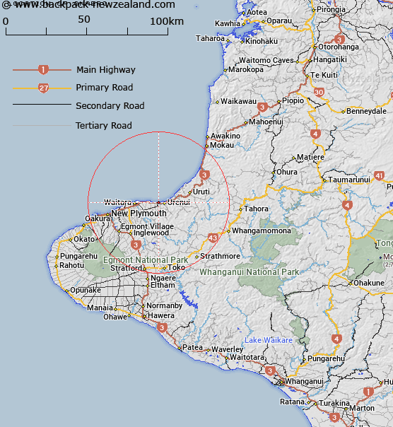
Map showing location of Onaero
LINZ description: Trig station, (Geodetic code AKEL), near the locality of Onaero. Waitara Survey District.
Latitude: -38.996162
Longitude: 174.358547
Northing: 5682771.5
Easting: 1717647.6
Land District: Taranaki
Feat Type: Trig Station
Latitude: -38.996162
Longitude: 174.358547
Northing: 5682771.5
Easting: 1717647.6
Land District: Taranaki
Feat Type: Trig Station

Scroll down to see a more detailed road map and below that a topographical map showing the location of Onaero. The road map has been supplied by openstreetmap and the topographical map of Onaero has been supplied by Land Information New Zealand (LINZ).
Yes you can use the top static map for you school/university project or personal website with a link back. Contact me for any commercial use.
[ A ] [ B ] [ C ] [ D ] [ E ] [ F ] [ G ] [ H ] [ I ] [ J ] [ K ] [ L ] [ M ] [ N ] [ O ] [ P ] [ Q ] [ R ] [ S ] [ T ] [ U ] [ V ] [ W ] [ X ] [ Y ] [ Z ]