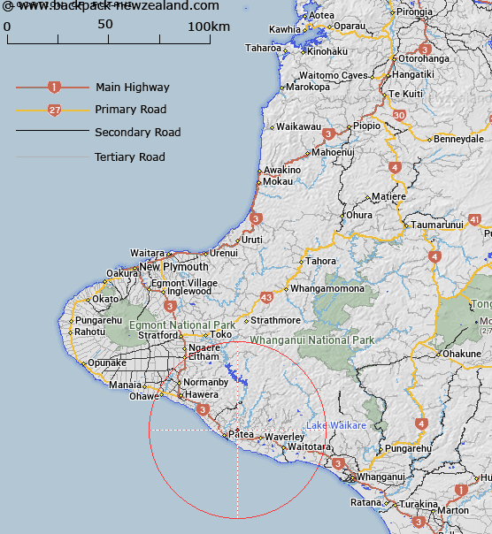
Map showing location of Putahi
LINZ description: Near intersection of Putahi Road and Kaharoa Road in Patea. Feature not shown on current maps.
Latitude: -39.732602
Longitude: 174.531036
Northing: 5600800
Easting: 1731200
Land District: Taranaki
Feat Type: Trig Station
Latitude: -39.732602
Longitude: 174.531036
Northing: 5600800
Easting: 1731200
Land District: Taranaki
Feat Type: Trig Station

Scroll down to see a more detailed road map and below that a topographical map showing the location of Putahi. The road map has been supplied by openstreetmap and the topographical map of Putahi has been supplied by Land Information New Zealand (LINZ).
Yes you can use the top static map for you school/university project or personal website with a link back. Contact me for any commercial use.
[ A ] [ B ] [ C ] [ D ] [ E ] [ F ] [ G ] [ H ] [ I ] [ J ] [ K ] [ L ] [ M ] [ N ] [ O ] [ P ] [ Q ] [ R ] [ S ] [ T ] [ U ] [ V ] [ W ] [ X ] [ Y ] [ Z ]