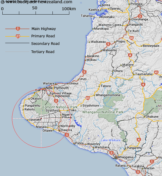
Map showing location of Awatuna
LINZ description: A location and a trig at Hawera Taranaki. Geodectic mark A7DT Stainless steel pin in trig tube set in concrete, 0.08m below cast iron cover.
Latitude: -39.4362
Longitude: 174.03999
Northing: 5634300
Easting: 1689500
Land District: Taranaki
Feat Type: Trig Station
Latitude: -39.4362
Longitude: 174.03999
Northing: 5634300
Easting: 1689500
Land District: Taranaki
Feat Type: Trig Station

Scroll down to see a more detailed road map and below that a topographical map showing the location of Awatuna. The road map has been supplied by openstreetmap and the topographical map of Awatuna has been supplied by Land Information New Zealand (LINZ).
Yes you can use the top static map for you school/university project or personal website with a link back. Contact me for any commercial use.
[ A ] [ B ] [ C ] [ D ] [ E ] [ F ] [ G ] [ H ] [ I ] [ J ] [ K ] [ L ] [ M ] [ N ] [ O ] [ P ] [ Q ] [ R ] [ S ] [ T ] [ U ] [ V ] [ W ] [ X ] [ Y ] [ Z ]