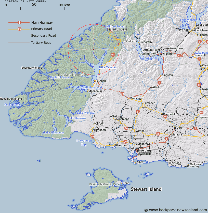
Map showing location of Nitz Creek
LINZ description: Tributary of Glaisnock River, flowing from approx 3km East of Worsley Pass, and joining the Glaisnock River 3.75 km from it's outlet into North Fiord, Lake Te Anau, between Henderson Burn and Kakapo Creek. Glaisnock Survey District.
Latitude: -44.957629
Longitude: 167.709571
Northing: 5008124.8
Easting: 1182724.9
Land District: Southland
Feat Type: Stream
Latitude: -44.957629
Longitude: 167.709571
Northing: 5008124.8
Easting: 1182724.9
Land District: Southland
Feat Type: Stream

Scroll down to see a more detailed road map and below that a topographical map showing the location of Nitz Creek. The road map has been supplied by openstreetmap and the topographical map of Nitz Creek has been supplied by Land Information New Zealand (LINZ).
Yes you can use the top static map for you school/university project or personal website with a link back. Contact me for any commercial use.
[ A ] [ B ] [ C ] [ D ] [ E ] [ F ] [ G ] [ H ] [ I ] [ J ] [ K ] [ L ] [ M ] [ N ] [ O ] [ P ] [ Q ] [ R ] [ S ] [ T ] [ U ] [ V ] [ W ] [ X ] [ Y ] [ Z ]