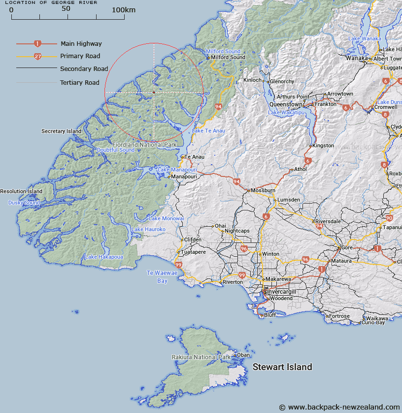
Map showing location of George River


LINZ description: River flowing into George Sound at Anchorage Cove.
Latitude: -44.927953
Longitude: 167.496565
Northing: 5010300
Easting: 1165700
Land District: Southland
Feat Type: Stream


Scroll down to see a more detailed road map and below that a topographical map showing the location of George River. The road map has been supplied by openstreetmap and the topographical map of George River has been supplied by Land Information New Zealand (LINZ).

Yes you can use the top static map for you school/university project or personal website with a link back. Contact me for any commercial use.

George River Map New Zealand


New Zealand places in our database
[ A ] [ B ] [ C ] [ D ] [ E ] [ F ] [ G ] [ H ] [ I ] [ J ] [ K ] [ L ] [ M ] [ N ] [ O ] [ P ] [ Q ] [ R ] [ S ] [ T ] [ U ] [ V ] [ W ] [ X ] [ Y ] [ Z ]


Closest 20 Streams to George River

Edith River ( 4.18km )   McDonald Creek ( 4.66km )   Pitt River ( 5.7km )   Trophy Burn ( 6.38km )   Wild Natives River ( 7.4km )   Nita Creek ( 7.65km )   Katherine Creek ( 8.08km )   Midnight Creek ( 8.16km )   Overlander Stream ( 9.47km )   Bernard Burn ( 10.01km )   Rugged Burn ( 10.06km )   Wapiti River ( 10.06km )   West Burn ( 10.25km )   Rugged Burn ( 10.25km )   Ethne Stream ( 11.85km )   Taheke Creek ( 12.01km )   Stina Burn ( 12.12km )   Whitewater River ( 12.69km )   Stillwater River ( 12.8km )   Canyon Creek ( 13.06km )   Barrier Stream ( 13.92km )   Robb Creek ( 14.1km )   Henderson Burn ( 14.46km )   Kakapo Creek ( 14.52km )   Madman Stream ( 15.31km )   Glaisnock River ( 15.79km )   Inaccessible Creek ( 15.96km )   Starvation Creek ( 16.57km )   Worsley Stream ( 16.75km )   Feldspar Stream ( 16.95km )   Nitz Creek ( 17.09km )   Expectation Stream ( 17.67km )   Dark River ( 18.16km )   Austral Creek ( 18.42km )   Campbell Creek ( 18.47km )   Pisgah Creek ( 18.52km )   Prospect Creek ( 18.67km )   Newton Creek ( 18.93km )   Light River ( 19.4km )   Large Burn ( 19.89km )