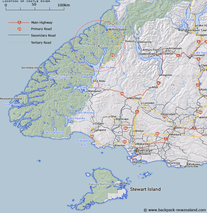
Map showing location of Castle River


LINZ description: River flowing from the head of the valley between Castle Mount and Barrier Peak into Worsley Stream. Castle and Clinton Survey Districts.
Latitude: -44.903974
Longitude: 167.793358
Northing: 5014514.2
Easting: 1188950
Land District: Southland
Feat Type: Stream


Scroll down to see a more detailed road map and below that a topographical map showing the location of Castle River. The road map has been supplied by openstreetmap and the topographical map of Castle River has been supplied by Land Information New Zealand (LINZ).

Yes you can use the top static map for you school/university project or personal website with a link back. Contact me for any commercial use.

Castle River Map New Zealand


New Zealand places in our database
[ A ] [ B ] [ C ] [ D ] [ E ] [ F ] [ G ] [ H ] [ I ] [ J ] [ K ] [ L ] [ M ] [ N ] [ O ] [ P ] [ Q ] [ R ] [ S ] [ T ] [ U ] [ V ] [ W ] [ X ] [ Y ] [ Z ]


Closest 20 Streams to Castle River

McQueen Creek ( 2.74km )   Terminus Creek ( 3.35km )   Indecision Creek ( 5.07km )   Prospect Creek ( 6.01km )   Clinton River West Branch ( 6.03km )   Saints Creek ( 6.09km )   Worsley Stream ( 6.81km )   Clinton River ( 8.71km )   Nitz Creek ( 8.89km )   Clinton River North Branch ( 9.33km )   Epidote Cataract ( 9.88km )   Starvation Creek ( 10.13km )   Kakapo Creek ( 10.51km )   Newton Creek ( 10.64km )   Dark River ( 10.87km )   Narrows Creek ( 11.08km )   Billy Burn ( 11.55km )   Glaisnock River ( 11.8km )   Roaring Burn ( 12.13km )   Robb Creek ( 12.17km )   Taheke Creek ( 12.41km )   Glade Burn ( 12.85km )   Staircase Creek ( 13.49km )   Joes River ( 13.53km )   Henderson Burn ( 13.87km )   Nurse Creek ( 14.11km )   Bernard Burn ( 15.14km )   Surprise Creek ( 15.38km )   Arthur River ( 15.45km )   Murcott Burn ( 15.91km )   Inaccessible Creek ( 16.46km )   Waterfall Creek ( 16.54km )   Hut Creek ( 16.97km )   Midnight Creek ( 16.99km )   Neale Burn ( 17.21km )   Talbot River ( 17.74km )   Wild Natives River ( 17.8km )   Pitt River ( 17.89km )   Light River ( 18.01km )   Eglinton River West Branch ( 18.22km )