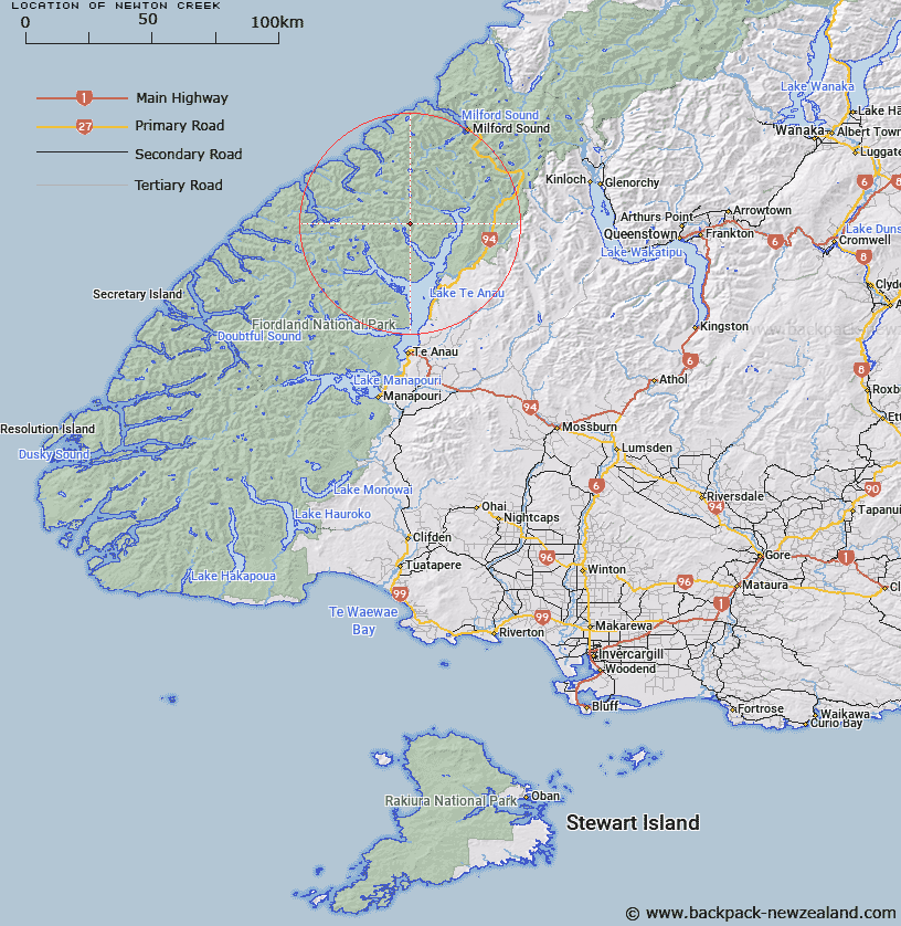
Map showing location of Newton Creek
LINZ description: Tributary of Glaisnock River, draining the southern slopes of Mount Kane, and joining the Glaisnock River near it's outlet into North Fiord, Lake Te Anau. South of "Nitz Creek". Glaisnock and Clinton Survey Districts.
Latitude: -44.985672
Longitude: 167.722931
Northing: 5005078.5
Easting: 1183982.1
Land District: Southland
Feat Type: Stream
Latitude: -44.985672
Longitude: 167.722931
Northing: 5005078.5
Easting: 1183982.1
Land District: Southland
Feat Type: Stream

Scroll down to see a more detailed road map and below that a topographical map showing the location of Newton Creek. The road map has been supplied by openstreetmap and the topographical map of Newton Creek has been supplied by Land Information New Zealand (LINZ).
Yes you can use the top static map for you school/university project or personal website with a link back. Contact me for any commercial use.
[ A ] [ B ] [ C ] [ D ] [ E ] [ F ] [ G ] [ H ] [ I ] [ J ] [ K ] [ L ] [ M ] [ N ] [ O ] [ P ] [ Q ] [ R ] [ S ] [ T ] [ U ] [ V ] [ W ] [ X ] [ Y ] [ Z ]