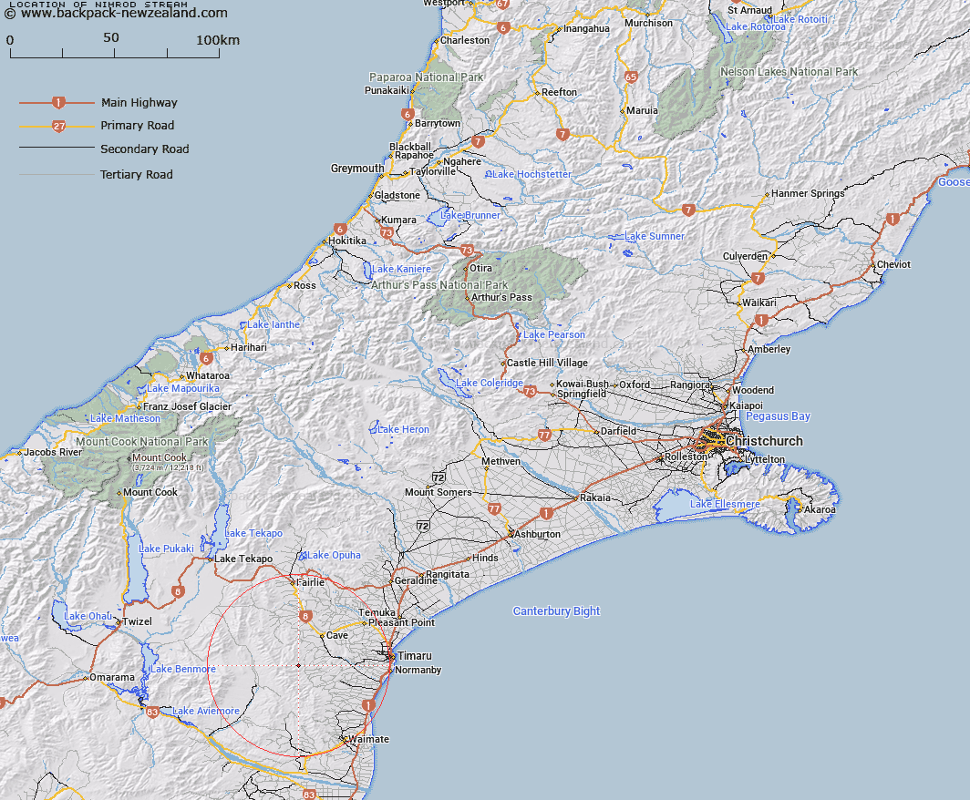
Map showing location of Nimrod Stream


LINZ description: Stream rising approximately 2km South of Mount Nimrod [Trig. N (Geodetic Code B6YK)], flowing eastwards, and joining White Rock River 700m North-east of Mount Nimrod homestead. Nimrod Survey District.
Latitude: -44.432938
Longitude: 170.853981
Northing: 5077800
Easting: 1429200
Land District: Canterbury
Feat Type: Stream


Scroll down to see a more detailed road map and below that a topographical map showing the location of Nimrod Stream. The road map has been supplied by openstreetmap and the topographical map of Nimrod Stream has been supplied by Land Information New Zealand (LINZ).

Yes you can use the top static map for you school/university project or personal website with a link back. Contact me for any commercial use.

Nimrod Stream Map New Zealand


New Zealand places in our database
[ A ] [ B ] [ C ] [ D ] [ E ] [ F ] [ G ] [ H ] [ I ] [ J ] [ K ] [ L ] [ M ] [ N ] [ O ] [ P ] [ Q ] [ R ] [ S ] [ T ] [ U ] [ V ] [ W ] [ X ] [ Y ] [ Z ]


Closest 20 Streams to Nimrod Stream

White Rock River ( 2.62km )   Motukaika River ( 3.53km )   Francis Stream ( 4.63km )   Maungati Stream ( 5.67km )   Matson Stream ( 5.87km )   Elder Stream ( 6.22km )   Mathias Stream ( 6.68km )   Elworthy Stream ( 7.08km )   Galway Stream ( 7.73km )   Wyatt Stream ( 8.41km )   Cannington Stream ( 9.95km )   Pratt Stream ( 9.97km )   Gordons Stream ( 10.66km )   Anderson Stream ( 12km )   South Branch Pareora River ( 12.48km )   North Branch Waihao River ( 12.64km )   Burnett Stream ( 13.23km )   Otaio River ( 13.23km )   Two Mile Stream ( 13.46km )   Scour Stream ( 13.79km )   Peter Stream ( 13.81km )   Mawaro Creek ( 14.31km )   Coal Creek ( 14.31km )   Two Legged Stream ( 14.59km )   Pareora River ( 14.8km )   Blue Duck Stream ( 15.07km )   Nelson Stream ( 15.68km )   Nessing Stream ( 15.91km )   Taiko Stream ( 16km )   Kohika Stream ( 16.41km )   Opawa River ( 16.64km )   Gorman Stream ( 17.06km )   Longden Stream ( 17.34km )   Tengawai Flat Creek ( 17.57km )   MacGregor Stream ( 17.75km )   Marsack Stream ( 18.28km )   Massack Stream ( 18.28km )   Cattle Creek ( 18.45km )   Dunstan Stream ( 18.69km )   Luscombe Stream ( 18.72km )