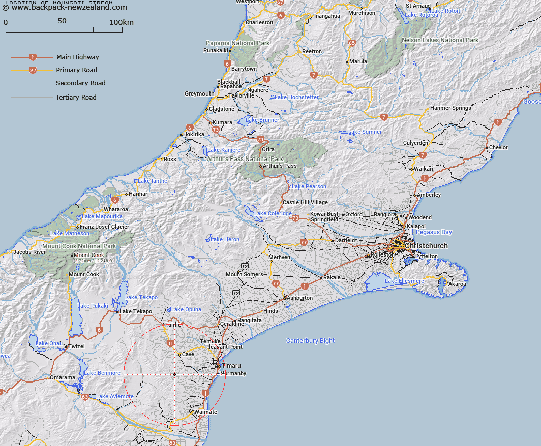
Map showing location of Maungati Stream


LINZ description: Stream rising 2.4km South-west of Trig. D1 (Geodetic Code B6YM), flowing North-eastwards, and joining Elder Stream 250m North of Maungati locality. Nimrod and Otaio Survey Districts.
Latitude: -44.458393
Longitude: 170.915897
Northing: 5075100
Easting: 1434200
Land District: Canterbury
Feat Type: Stream


Scroll down to see a more detailed road map and below that a topographical map showing the location of Maungati Stream. The road map has been supplied by openstreetmap and the topographical map of Maungati Stream has been supplied by Land Information New Zealand (LINZ).

Yes you can use the top static map for you school/university project or personal website with a link back. Contact me for any commercial use.

Maungati Stream Map New Zealand


New Zealand places in our database
[ A ] [ B ] [ C ] [ D ] [ E ] [ F ] [ G ] [ H ] [ I ] [ J ] [ K ] [ L ] [ M ] [ N ] [ O ] [ P ] [ Q ] [ R ] [ S ] [ T ] [ U ] [ V ] [ W ] [ X ] [ Y ] [ Z ]


Closest 20 Streams to Maungati Stream

Elder Stream ( 0.64km )   Elworthy Stream ( 2.48km )   Gordons Stream ( 5km )   White Rock River ( 5.11km )   Motukaika River ( 5.4km )   Nimrod Stream ( 5.67km )   Pratt Stream ( 7.38km )   Galway Stream ( 8.61km )   Mathias Stream ( 9.49km )   Francis Stream ( 9.68km )   Otaio River ( 9.86km )   South Branch Pareora River ( 10.3km )   Matson Stream ( 11.39km )   Pareora River ( 11.65km )   Kohika Stream ( 12.01km )   Cannington Stream ( 12.22km )   Taiko Stream ( 12.82km )   Burnett Stream ( 13.3km )   Wyatt Stream ( 13.35km )   North Branch Waihao River ( 13.95km )   Peters Stream ( 14.37km )   Teschemaker Creek ( 14.73km )   Anderson Stream ( 17.25km )   Tiako Stream ( 17.61km )   Coal Creek ( 17.67km )   Mawaro Creek ( 17.67km )   Peter Stream ( 17.88km )   Pig Hunting Creek ( 17.92km )   Nelson Stream ( 18.07km )   Two Mile Stream ( 18.3km )   Makikihi River ( 18.47km )   Tengawai Flat Creek ( 18.68km )   Robinsons Road Creek ( 19km )   Scour Stream ( 19.1km )   Otipua Creek South Branch ( 19.41km )   Blue Duck Stream ( 19.71km )   Two Legged Stream ( 20.18km )   Sutherlands Creek ( 20.37km )   Hook River ( 20.67km )   Otipua Creek North Branch ( 20.77km )