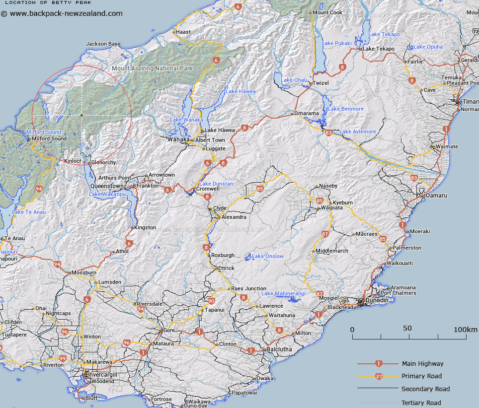
Map showing location of Betty Peak


LINZ description: Peak at junction of Olivine and Barrier Ranges above Margaret and Dredgeburn Glaciers and the Dart River/Te Awa Whakatipu.
Latitude: -44.495209
Longitude: 168.328647
Northing: 5062500
Easting: 1228600
Land District: Otago
Feat Type: Hill


Scroll down to see a more detailed road map and below that a topographical map showing the location of Betty Peak. The road map has been supplied by openstreetmap and the topographical map of Betty Peak has been supplied by Land Information New Zealand (LINZ).

Yes you can use the top static map for you school/university project or personal website with a link back. Contact me for any commercial use.

Betty Peak Map New Zealand


New Zealand places in our database
[ A ] [ B ] [ C ] [ D ] [ E ] [ F ] [ G ] [ H ] [ I ] [ J ] [ K ] [ L ] [ M ] [ N ] [ O ] [ P ] [ Q ] [ R ] [ S ] [ T ] [ U ] [ V ] [ W ] [ X ] [ Y ] [ Z ]


Closest 20 Hills to Betty Peak

Betty Peak ( 0km )   Albert Peak ( 0.45km )   Gino Peak ( 1.62km )   Mallory Peak ( 1.82km )   Hedin Peak ( 2.12km )   Irvine Peak ( 2.19km )   Watkins ( 2.4km )   Gates Mountain ( 2.55km )   Stefansson Peak ( 2.61km )   Terminal Peak ( 3.1km )   Bride Peaks ( 3.19km )   McBride Peaks ( 3.19km )   Johansen Peak ( 4.24km )   Key Rock ( 4.4km )   Brenda Peak ( 4.6km )   Corinna Peak ( 4.81km )   Sunset Peak ( 5.06km )   Climax Peak ( 5.19km )   Blockade Peak ( 5.34km )   Fohn Peak ( 5.56km )   Nansen Peak ( 5.97km )   Angle Peak ( 6.14km )   Destiny Peak ( 6.23km )   Daedelus ( 6.56km )   Chancellor ( 6.69km )   McClimont Peak ( 6.9km )   Todd ( 7.53km )   Passchendaele Peak ( 7.53km )   Mount Peary ( 7.57km )   Frobisher Mountain ( 7.98km )   Alexander ( 8.09km )   The Tower ( 8.34km )   West Peak ( 8.63km )   East Peak ( 8.78km )   Ark ( 9.01km )   Tantalus Peak ( 9.25km )   Little Ark ( 9.31km )   Gable Peak ( 9.56km )   Fiery Peak ( 9.7km )   Head Peak ( 9.74km )