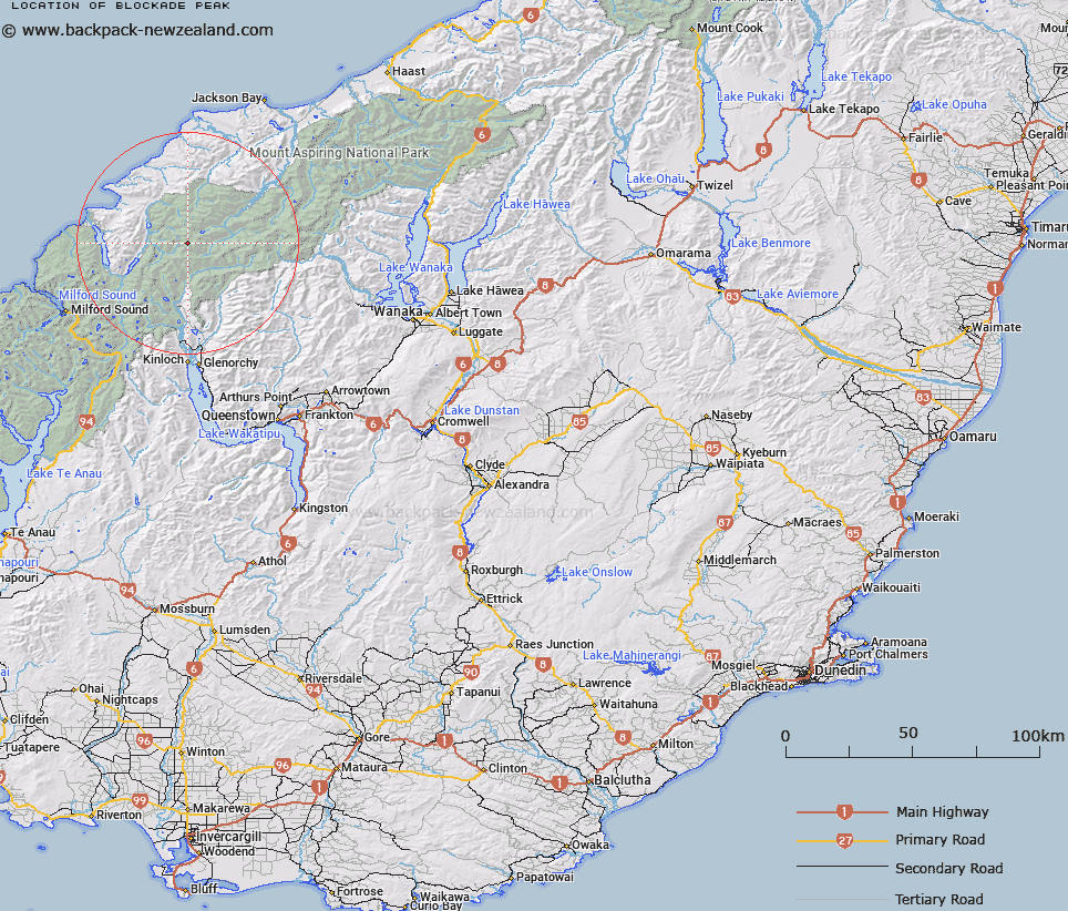
Map showing location of Blockade Peak
LINZ description: Peak blocking west end of Olivine Ice Plateau between Forgotten River Col and Climax Col, north of the Barrier Range.
Latitude: -44.449423
Longitude: 168.348827
Northing: 5067677.8
Easting: 1229914.6
Land District: Otago
Feat Type: Hill
Latitude: -44.449423
Longitude: 168.348827
Northing: 5067677.8
Easting: 1229914.6
Land District: Otago
Feat Type: Hill

Scroll down to see a more detailed road map and below that a topographical map showing the location of Blockade Peak. The road map has been supplied by openstreetmap and the topographical map of Blockade Peak has been supplied by Land Information New Zealand (LINZ).
Yes you can use the top static map for you school/university project or personal website with a link back. Contact me for any commercial use.
[ A ] [ B ] [ C ] [ D ] [ E ] [ F ] [ G ] [ H ] [ I ] [ J ] [ K ] [ L ] [ M ] [ N ] [ O ] [ P ] [ Q ] [ R ] [ S ] [ T ] [ U ] [ V ] [ W ] [ X ] [ Y ] [ Z ]