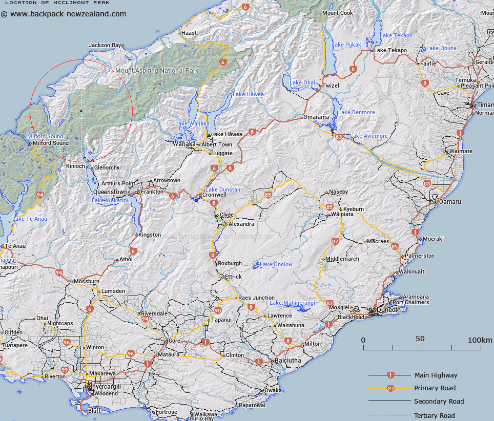
Map showing location of McClimont Peak
LINZ description: Peak above Intervention Saddle at the headwaters of Barrier River South Branch, Dorite Stream and Forgotten River, east of the Olivine Ice Plateau.
Latitude: -44.435138
Longitude: 168.306834
Northing: 5069073.4
Easting: 1226481.9
Land District: Otago
Feat Type: Hill
Latitude: -44.435138
Longitude: 168.306834
Northing: 5069073.4
Easting: 1226481.9
Land District: Otago
Feat Type: Hill

Scroll down to see a more detailed road map and below that a topographical map showing the location of McClimont Peak. The road map has been supplied by openstreetmap and the topographical map of McClimont Peak has been supplied by Land Information New Zealand (LINZ).
Yes you can use the top static map for you school/university project or personal website with a link back. Contact me for any commercial use.
[ A ] [ B ] [ C ] [ D ] [ E ] [ F ] [ G ] [ H ] [ I ] [ J ] [ K ] [ L ] [ M ] [ N ] [ O ] [ P ] [ Q ] [ R ] [ S ] [ T ] [ U ] [ V ] [ W ] [ X ] [ Y ] [ Z ]