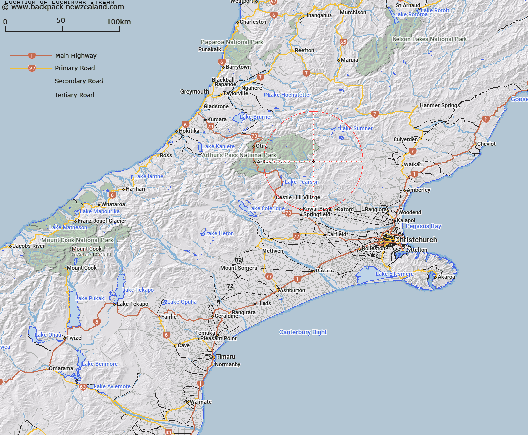
Map showing location of Lochinvar Stream


LINZ description: Right bank tributary of Nigger Stream rising 1.5km South-east Trig. R (Geodetic Code A9J0)], flowing eastward and joining Nigger Stream 875m upstream of Flora Stream. Block V, Esk Survey District.
Latitude: -42.938939
Longitude: 172.024218
Northing: 5245504
Easting: 1520386.6
Land District: Canterbury
Feat Type: Stream


Scroll down to see a more detailed road map and below that a topographical map showing the location of Lochinvar Stream. The road map has been supplied by openstreetmap and the topographical map of Lochinvar Stream has been supplied by Land Information New Zealand (LINZ).

Yes you can use the top static map for you school/university project or personal website with a link back. Contact me for any commercial use.

Lochinvar Stream Map New Zealand


New Zealand places in our database
[ A ] [ B ] [ C ] [ D ] [ E ] [ F ] [ G ] [ H ] [ I ] [ J ] [ K ] [ L ] [ M ] [ N ] [ O ] [ P ] [ Q ] [ R ] [ S ] [ T ] [ U ] [ V ] [ W ] [ X ] [ Y ] [ Z ]


Closest 20 Streams to Lochinvar Stream

Lochinvar Stream ( 0km )   Nigger Stream ( 0.58km )   P?kio Stream ( 0.58km )   Flora Stream ( 3.51km )   Camp Stream ( 3.75km )   Baldy Stream ( 5.64km )   Ant Stream ( 6.81km )   Esk River ( 6.91km )   Fooks Stream ( 7.51km )   Anna Stream ( 8.09km )   Beckett Stream ( 8.32km )   Turnbull Stream ( 8.38km )   Poulter River East Branch ( 8.78km )   Cleland Stream ( 9.05km )   Boundary Stream ( 9.15km )   Hungerford Stream ( 9.35km )   Pig Spur Stream ( 9.66km )   Brechin Burn ( 10.13km )   Fossil Stream ( 10.27km )   Cochran Stream ( 10.68km )   Candlestick Stream ( 11.73km )   Row Stream ( 12.43km )   Mount Brown Creek ( 12.46km )   Cox River ( 12.56km )   Grant Stream ( 13.42km )   Bull Creek ( 13.49km )   Lillburn River ( 13.57km )   Lilburne River ( 13.57km )   Lucy Stream ( 13.63km )   Montgomery Stream ( 13.65km )   Pete Stream ( 13.76km )   Anderson Stream ( 13.77km )   Fenwick Stream ( 14.12km )   Crossley Stream ( 14.33km )   Sailor Stream ( 14.48km )   Bush Gully Stream ( 14.48km )   Laurie Stream ( 14.67km )   Newton Stream ( 14.73km )   Youngman Stream ( 14.86km )   Pember Stream ( 15.06km )