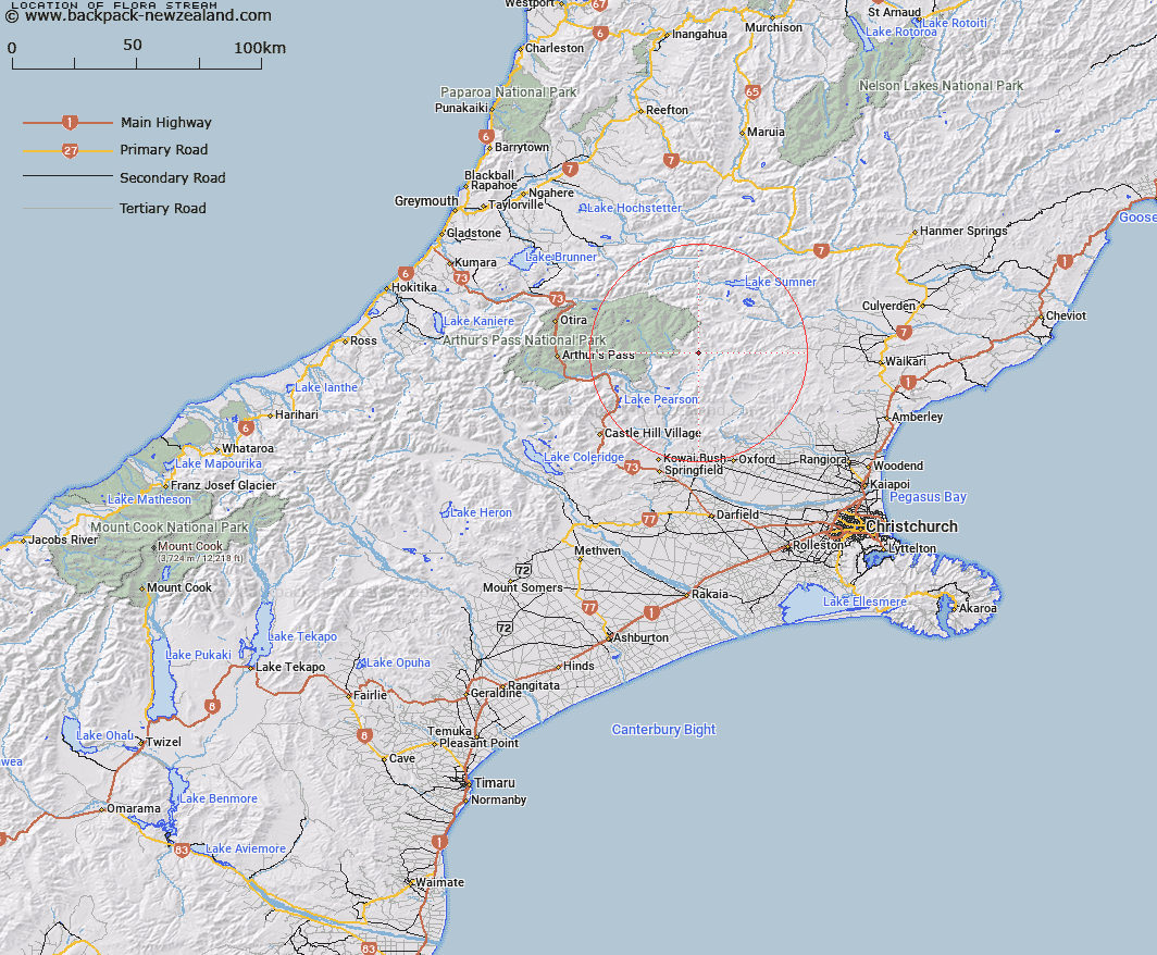
Map showing location of Flora Stream
LINZ description: Left bank tributary of Pūkio Stream rising on the southern slope of Shingle Hill, flowing southward East of Big Flora, then South-westward North of Little Flora, and joining Pūkio Stream 2.4km West by North-west of Little Flora. Block VI, Esk Survey District.
Latitude: -42.935392
Longitude: 172.067069
Northing: 5245937.6
Easting: 1523878.5
Land District: Canterbury
Feat Type: Stream
Latitude: -42.935392
Longitude: 172.067069
Northing: 5245937.6
Easting: 1523878.5
Land District: Canterbury
Feat Type: Stream

Scroll down to see a more detailed road map and below that a topographical map showing the location of Flora Stream. The road map has been supplied by openstreetmap and the topographical map of Flora Stream has been supplied by Land Information New Zealand (LINZ).
Yes you can use the top static map for you school/university project or personal website with a link back. Contact me for any commercial use.
[ A ] [ B ] [ C ] [ D ] [ E ] [ F ] [ G ] [ H ] [ I ] [ J ] [ K ] [ L ] [ M ] [ N ] [ O ] [ P ] [ Q ] [ R ] [ S ] [ T ] [ U ] [ V ] [ W ] [ X ] [ Y ] [ Z ]