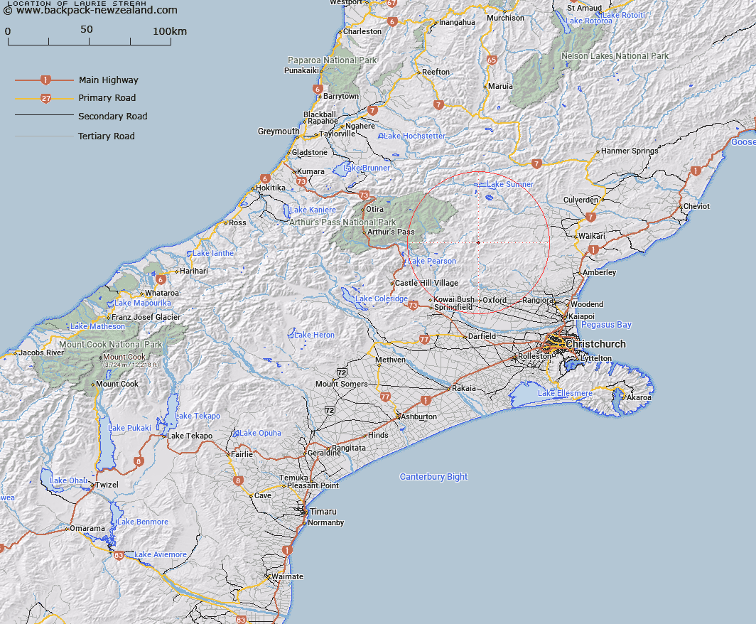
Map showing location of Laurie Stream
LINZ description: Right bank tributary of Ashley River rising 750m South-west of Trig. H (Geodetic Code A9E6), flowing southward and joining Ashley River 200m downstream of the Duncan Stream/ Ashley River junction. Blocks XII and XVI, Esk Survey District.
Latitude: -42.998456
Longitude: 172.185185
Northing: 5239034.6
Easting: 1533583.9
Land District: Canterbury
Feat Type: Stream
Latitude: -42.998456
Longitude: 172.185185
Northing: 5239034.6
Easting: 1533583.9
Land District: Canterbury
Feat Type: Stream

Scroll down to see a more detailed road map and below that a topographical map showing the location of Laurie Stream. The road map has been supplied by openstreetmap and the topographical map of Laurie Stream has been supplied by Land Information New Zealand (LINZ).
Yes you can use the top static map for you school/university project or personal website with a link back. Contact me for any commercial use.
[ A ] [ B ] [ C ] [ D ] [ E ] [ F ] [ G ] [ H ] [ I ] [ J ] [ K ] [ L ] [ M ] [ N ] [ O ] [ P ] [ Q ] [ R ] [ S ] [ T ] [ U ] [ V ] [ W ] [ X ] [ Y ] [ Z ]