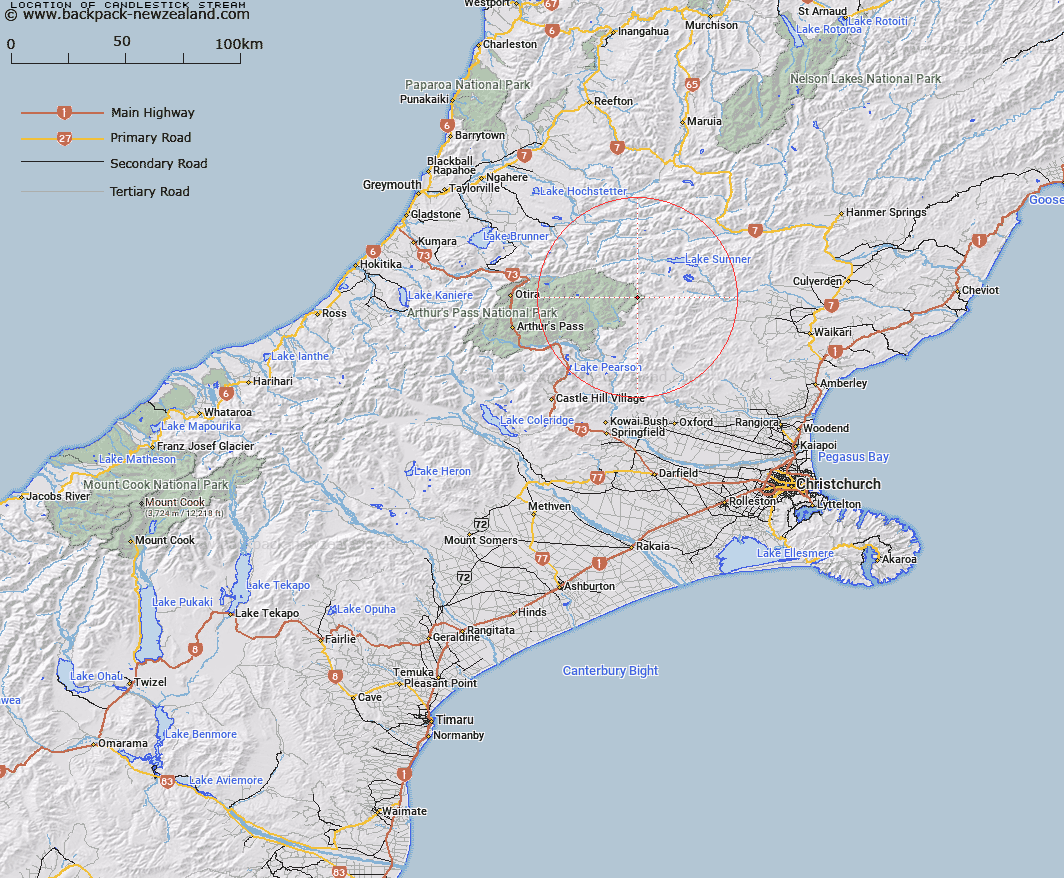
Map showing location of Candlestick Stream
LINZ description: Left bank tributary of Bull Creek draining the western slopes of the North end of the Candlesticks, from Mount Turnbull to Mount Crossley, flowing generally westward and joining Bull Creek 3.3km North-west of Mount Turnbull. Block XIII, Katrine Survey District.
Latitude: -42.834665
Longitude: 172.045776
Northing: 5257103.6
Easting: 1522014.3
Land District: Canterbury
Feat Type: Stream
Latitude: -42.834665
Longitude: 172.045776
Northing: 5257103.6
Easting: 1522014.3
Land District: Canterbury
Feat Type: Stream

Scroll down to see a more detailed road map and below that a topographical map showing the location of Candlestick Stream. The road map has been supplied by openstreetmap and the topographical map of Candlestick Stream has been supplied by Land Information New Zealand (LINZ).
Yes you can use the top static map for you school/university project or personal website with a link back. Contact me for any commercial use.
[ A ] [ B ] [ C ] [ D ] [ E ] [ F ] [ G ] [ H ] [ I ] [ J ] [ K ] [ L ] [ M ] [ N ] [ O ] [ P ] [ Q ] [ R ] [ S ] [ T ] [ U ] [ V ] [ W ] [ X ] [ Y ] [ Z ]