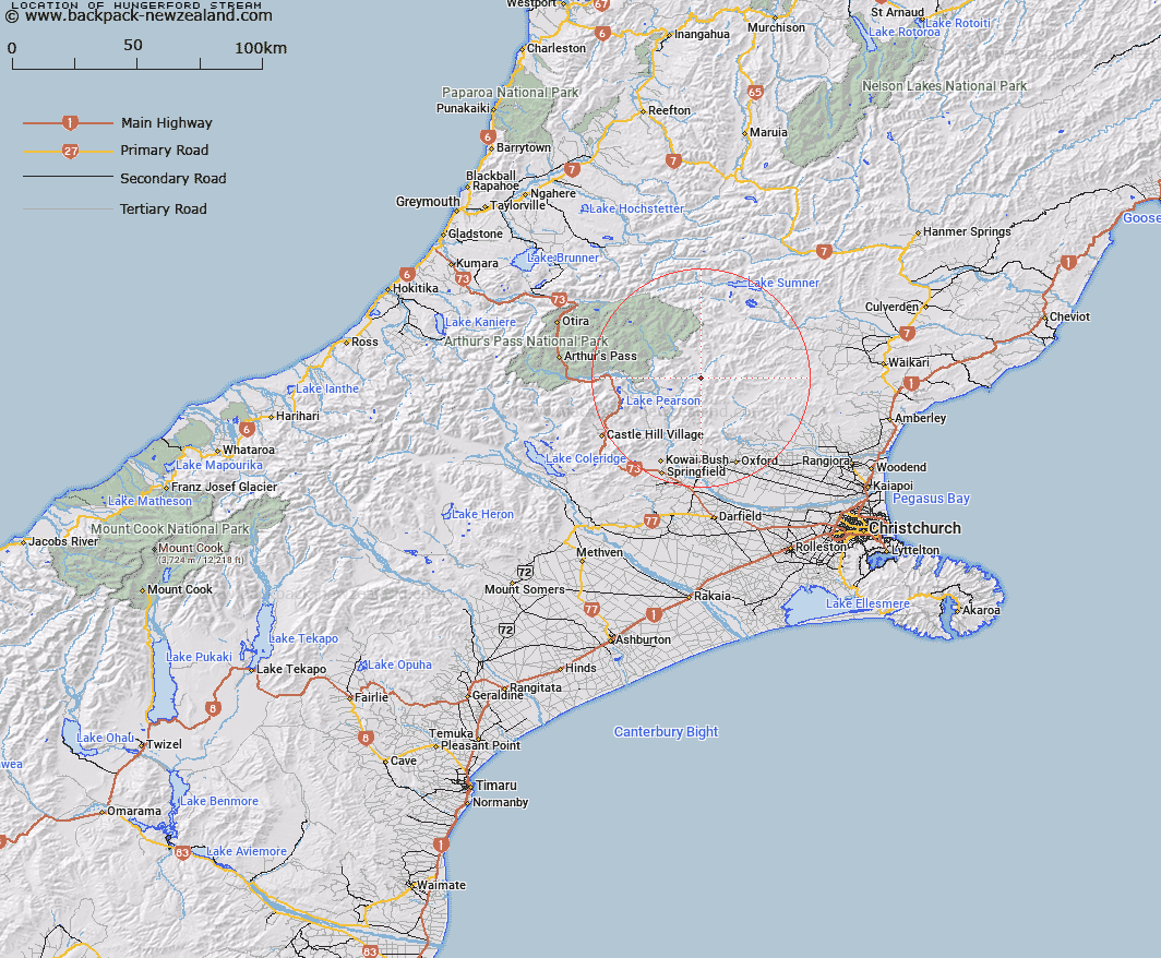
Map showing location of Hungerford Stream
LINZ description: Left bank tributary of Esk River rising in the Dalgety Range, 800m North of Puketeraki, [Trig. GS (Geodetic Code A9TX)], flowing North-westwards and joining Esk River 400m downstream of Nigger Stream. Block XIV Esk Survey District.
Latitude: -43.017625
Longitude: 172.064785
Northing: 5236803.6
Easting: 1523793.7
Land District: Canterbury
Feat Type: Stream
Latitude: -43.017625
Longitude: 172.064785
Northing: 5236803.6
Easting: 1523793.7
Land District: Canterbury
Feat Type: Stream

Scroll down to see a more detailed road map and below that a topographical map showing the location of Hungerford Stream. The road map has been supplied by openstreetmap and the topographical map of Hungerford Stream has been supplied by Land Information New Zealand (LINZ).
Yes you can use the top static map for you school/university project or personal website with a link back. Contact me for any commercial use.
[ A ] [ B ] [ C ] [ D ] [ E ] [ F ] [ G ] [ H ] [ I ] [ J ] [ K ] [ L ] [ M ] [ N ] [ O ] [ P ] [ Q ] [ R ] [ S ] [ T ] [ U ] [ V ] [ W ] [ X ] [ Y ] [ Z ]