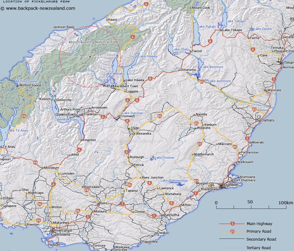
Map showing location of Pickelhaube Peak


LINZ description: Peak on the Main Divide at the head of Beauty Peak, above the Upper Volta Glacier and to the east of Aspinall Peak, Southern Alps/Kā Tiritiri o te Moana.
Latitude: -44.321159
Longitude: 168.831562
Northing: 5084000
Easting: 1267600
Land District: Otago, Westland
Feat Type: Hill


Scroll down to see a more detailed road map and below that a topographical map showing the location of Pickelhaube Peak. The road map has been supplied by openstreetmap and the topographical map of Pickelhaube Peak has been supplied by Land Information New Zealand (LINZ).

Yes you can use the top static map for you school/university project or personal website with a link back. Contact me for any commercial use.

Pickelhaube Peak Map New Zealand


New Zealand places in our database
[ A ] [ B ] [ C ] [ D ] [ E ] [ F ] [ G ] [ H ] [ I ] [ J ] [ K ] [ L ] [ M ] [ N ] [ O ] [ P ] [ Q ] [ R ] [ S ] [ T ] [ U ] [ V ] [ W ] [ X ] [ Y ] [ Z ]


Closest 20 Hills to Pickelhaube Peak

Pickelhaube ( 0.1km )   Glacier Dome ( 2.57km )   Mount Taunus ( 2.99km )   Mount Taurus ( 2.99km )   Aspinall Peak ( 4.23km )   Lois Peak ( 4.44km )   Fastness Peak ( 4.95km )   Mount Twilight ( 5.5km )   Sisyphus Peak ( 6.08km )   Mount Betsy Jane ( 6.26km )   Mount Betsey Jane ( 6.27km )   Stocking Peak ( 6.58km )   Mount Ragan ( 6.88km )   Corner Post ( 7km )   Moonraker ( 7.69km )   Spike ( 7.85km )   Moncrieff Peak ( 8.55km )   Farrar Peak ( 8.57km )   Canon Peak ( 9.01km )   Mount Helen ( 9.11km )   Stargazer ( 9.24km )   Aeroplane Peak ( 9.24km )   Skyscraper ( 9.34km )   Mount Perseus ( 9.52km )   Scylla and Charybdis ( 9.69km )   Mainroyal ( 9.7km )   Helena Peak ( 10.33km )   Popes Nose ( 10.36km )   Mount Pollux ( 10.43km )   Dragonfly Peak ( 10.48km )   Hyperia ( 10.5km )   Rolling Pin ( 10.85km )   Mount Aspiring/Tititea ( 10.94km )   Mount Aspiring ( 10.94km )   Mount Arne ( 11.03km )   Munro Peak ( 11.2km )   Mount Vesta ( 11.48km )   Mount Castor ( 11.88km )   Duncans Knob ( 11.97km )   Flanagans Summit ( 12.18km )