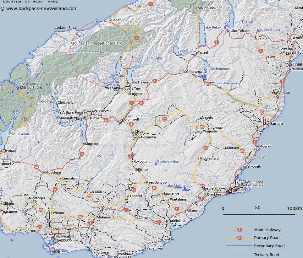
Map showing location of Mount Arne


LINZ description: Mountain in the Wilkin Valley, between Wonderland Stream and North Branch, approximately one mile south of Mt. Vesta. Mt. Pollux Survey District.
Latitude: -44.254834
Longitude: 168.934675
Northing: 5091781
Easting: 1275457.2
Land District: Otago
Feat Type: Hill


Scroll down to see a more detailed road map and below that a topographical map showing the location of Mount Arne. The road map has been supplied by openstreetmap and the topographical map of Mount Arne has been supplied by Land Information New Zealand (LINZ).

Yes you can use the top static map for you school/university project or personal website with a link back. Contact me for any commercial use.

Mount Arne Map New Zealand


New Zealand places in our database
[ A ] [ B ] [ C ] [ D ] [ E ] [ F ] [ G ] [ H ] [ I ] [ J ] [ K ] [ L ] [ M ] [ N ] [ O ] [ P ] [ Q ] [ R ] [ S ] [ T ] [ U ] [ V ] [ W ] [ X ] [ Y ] [ Z ]


Closest 20 Hills to Mount Arne

Mount Vesta ( 1.52km )   Mount Perseus ( 1.64km )   Mount Iphigenia ( 2.51km )   Mount Juno ( 3.18km )   Mount Aeolus ( 3.63km )   Oblong Peak ( 3.63km )   Apollo Peak ( 5.26km )   Mercury Peak ( 5.3km )   Leda Peak ( 5.39km )   Mount Jumbo ( 5.45km )   Mount Pollux ( 5.48km )   Mount Castor ( 5.52km )   The Sentinel ( 5.67km )   Mount Twilight ( 5.86km )   Helena Peak ( 6.1km )   Mount Betsy Jane ( 6.14km )   Mount Betsey Jane ( 6.15km )   Mount Ragan ( 6.52km )   Lois Peak ( 7.26km )   Pegasus Peak ( 7.45km )   Stocking Peak ( 7.46km )   Farrar Peak ( 7.5km )   Mount Kuri ( 7.95km )   Aspinall Peak ( 8.05km )   Canon Peak ( 8.39km )   Munro Peak ( 8.59km )   Mount Taunus ( 8.75km )   Mount Taurus ( 8.75km )   Mount Axius ( 9.02km )   Axius Peak ( 9.05km )   Mount Achilles ( 9.28km )   Mount Tyndar ( 10.45km )   Mount Alba ( 10.54km )   Flanagans Summit ( 10.79km )   Pickelhaube ( 10.94km )   Pickelhaube Peak ( 11.03km )   Mount Turner ( 12.72km )   Trident Peak ( 12.74km )   Sombre Peak ( 13.07km )   Mount Wzania ( 13.14km )