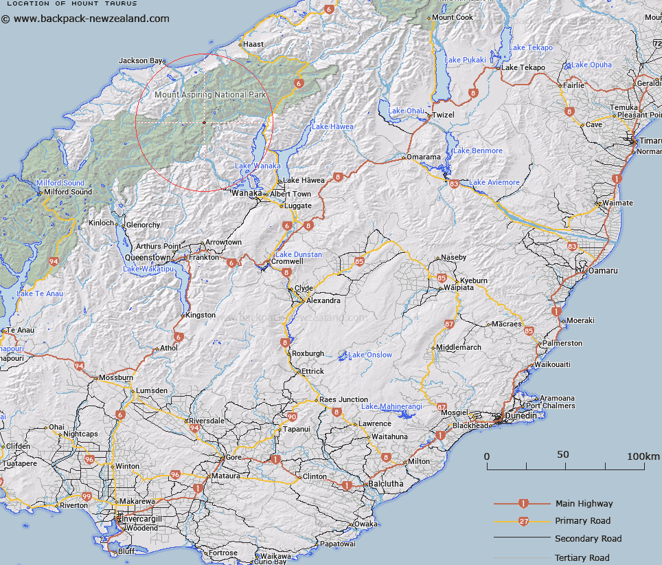
Map showing location of Mount Taurus
LINZ description: Peak in the Southern Alps, 1.5km North of the Pearson Saddle, between the heads of the Wilkin River South Branch, Pearson, and Bonar Rivers. Jackson & Mount Pollux Survey Districts, Westland and Otago Land Districts.
Latitude: -44.295025
Longitude: 168.840219
Northing: 5086938.1
Easting: 1268142.9
Land District: Otago, Westland
Feat Type: Hill
Latitude: -44.295025
Longitude: 168.840219
Northing: 5086938.1
Easting: 1268142.9
Land District: Otago, Westland
Feat Type: Hill

Scroll down to see a more detailed road map and below that a topographical map showing the location of Mount Taurus. The road map has been supplied by openstreetmap and the topographical map of Mount Taurus has been supplied by Land Information New Zealand (LINZ).
Yes you can use the top static map for you school/university project or personal website with a link back. Contact me for any commercial use.
[ A ] [ B ] [ C ] [ D ] [ E ] [ F ] [ G ] [ H ] [ I ] [ J ] [ K ] [ L ] [ M ] [ N ] [ O ] [ P ] [ Q ] [ R ] [ S ] [ T ] [ U ] [ V ] [ W ] [ X ] [ Y ] [ Z ]