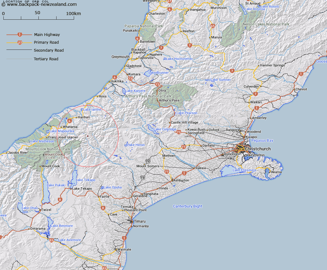
Map showing location of Orb Col


LINZ description: Mountain pass between Veil Peak and Helmet Peak, West of the Cloudy Peak Range. Block II Tyndall Survey District.
Latitude: -43.371634
Longitude: 170.695472
Northing: 5195335.3
Easting: 1413294.8
Land District: Canterbury
Feat Type: Pass


Scroll down to see a more detailed road map and below that a topographical map showing the location of Orb Col. The road map has been supplied by openstreetmap and the topographical map of Orb Col has been supplied by Land Information New Zealand (LINZ).

Yes you can use the top static map for you school/university project or personal website with a link back. Contact me for any commercial use.

Orb Col Map New Zealand


New Zealand places in our database
[ A ] [ B ] [ C ] [ D ] [ E ] [ F ] [ G ] [ H ] [ I ] [ J ] [ K ] [ L ] [ M ] [ N ] [ O ] [ P ] [ Q ] [ R ] [ S ] [ T ] [ U ] [ V ] [ W ] [ X ] [ Y ] [ Z ]


Closest 20 Passs to Orb Col

Disappointment Saddle ( 2.45km )   Havelock Col ( 2.91km )   Veil Col ( 3.57km )   Perth Col ( 4.15km )   Lucknow Saddle ( 4.15km )   Fan Col ( 4.2km )   Gunn Pass ( 5.15km )   Adams Col ( 5.59km )   Angel Col ( 5.69km )   Dennistoun Pass ( 7.97km )   Satan Saddle ( 8.12km )   Vertebrae Col ( 8.17km )   Dummy Col ( 8.26km )   Hidden Col ( 8.79km )   Iceland Col ( 9.15km )   St Winifred Col ( 9.59km )   Terra Nova Pass ( 9.93km )   Lambert Col ( 10.69km )   Rangitata Col ( 10.9km )   McCoy Col ( 11.06km )   Stewart Saddle ( 11.18km )   Malcolm Col ( 11.49km )   Gadarene Col ( 11.55km )   Easy Col ( 11.9km )   Battleaxe Col ( 12.17km )   Toledo Col ( 12.38km )   Sealy Pass ( 12.78km )   Crossbow Saddle ( 12.78km )   Revelation Col ( 13.39km )   Gladiator Col ( 13.46km )   Separation Col ( 13.95km )   Musterers Col ( 14.38km )   Twilight Col ( 14.42km )   Bandolero Col ( 14.53km )   Maud Pass ( 15.46km )   Jacqueline Col ( 15.72km )   Grey Pass ( 17.6km )   Ambrose Saddle ( 17.82km )   Escape Col ( 18.3km )   Camp Saddle ( 19km )