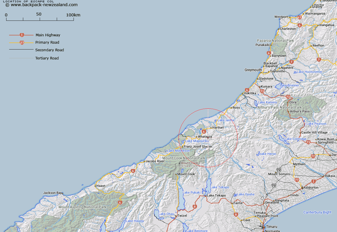
Map showing location of Escape Col


LINZ description: Hald a mile south-west of Mount Adams, between the Little Man River and the North Barlow River. Poerua Survey District.
Latitude: -43.271629
Longitude: 170.515769
Northing: 5206023.8
Easting: 1398404.8
Land District: Westland
Feat Type: Pass


Scroll down to see a more detailed road map and below that a topographical map showing the location of Escape Col. The road map has been supplied by openstreetmap and the topographical map of Escape Col has been supplied by Land Information New Zealand (LINZ).

Yes you can use the top static map for you school/university project or personal website with a link back. Contact me for any commercial use.

Escape Col Map New Zealand


New Zealand places in our database
[ A ] [ B ] [ C ] [ D ] [ E ] [ F ] [ G ] [ H ] [ I ] [ J ] [ K ] [ L ] [ M ] [ N ] [ O ] [ P ] [ Q ] [ R ] [ S ] [ T ] [ U ] [ V ] [ W ] [ X ] [ Y ] [ Z ]


Closest 20 Passs to Escape Col

Vertebrae Col ( 10.2km )   Iceland Col ( 10.69km )   Angel Col ( 13.63km )   Adams Col ( 15.07km )   Havelock Col ( 16.32km )   Gunn Pass ( 16.81km )   Maud Pass ( 17.07km )   Sealy Pass ( 17.12km )   Jacqueline Col ( 17.14km )   Disappointment Saddle ( 17.55km )   Grey Pass ( 17.68km )   Satan Saddle ( 17.7km )   Lucknow Saddle ( 17.71km )   Perth Col ( 17.71km )   Dennistoun Pass ( 18.04km )   Stewart Saddle ( 18.06km )   Orb Col ( 18.3km )   Dummy Col ( 18.58km )   Hidden Col ( 18.74km )   St Winifred Col ( 19.87km )   Terra Nova Pass ( 20.31km )   Evans Pass ( 21.58km )   Veil Col ( 21.85km )   Callery Saddle ( 22.12km )   Lambert Col ( 22.3km )   Revelation Col ( 22.38km )   Gadarene Col ( 22.42km )   Fan Col ( 22.49km )   Separation Col ( 22.85km )   Malcolm Col ( 23.28km )   Rangitata Col ( 23.53km )   Tatare Saddle ( 23.7km )   Twilight Col ( 24.23km )   McCoy Col ( 24.45km )   Easy Col ( 24.89km )   Whataroa Saddle ( 26.04km )   Camp Saddle ( 26.07km )   Classen Saddle ( 27km )   Toledo Col ( 27.55km )   Gladiator Col ( 27.63km )