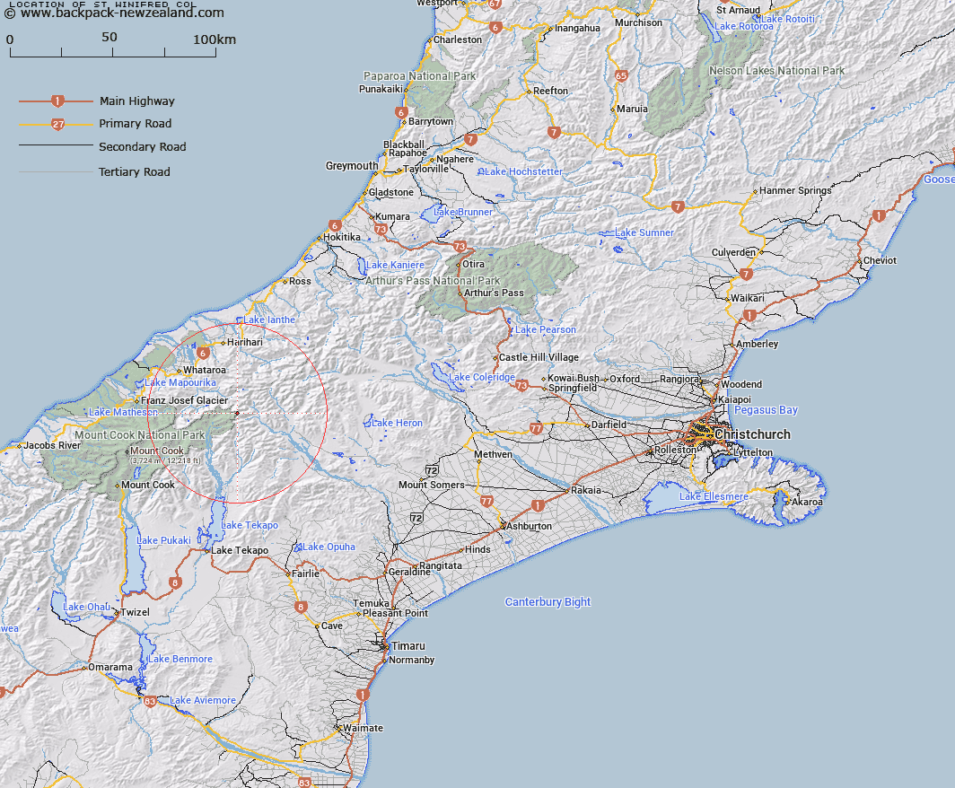
Map showing location of St Winifred Col


LINZ description: A pass at the northern end of the Two Thumb Range, immediately south of McClure Peak, a peak on the main divide. Block IV Torlesse Survey District.
Latitude: -43.435066
Longitude: 170.61505
Northing: 5188107.2
Easting: 1406980.7
Land District: Canterbury
Feat Type: Pass


Scroll down to see a more detailed road map and below that a topographical map showing the location of St Winifred Col. The road map has been supplied by openstreetmap and the topographical map of St Winifred Col has been supplied by Land Information New Zealand (LINZ).

Yes you can use the top static map for you school/university project or personal website with a link back. Contact me for any commercial use.

St Winifred Col Map New Zealand


New Zealand places in our database
[ A ] [ B ] [ C ] [ D ] [ E ] [ F ] [ G ] [ H ] [ I ] [ J ] [ K ] [ L ] [ M ] [ N ] [ O ] [ P ] [ Q ] [ R ] [ S ] [ T ] [ U ] [ V ] [ W ] [ X ] [ Y ] [ Z ]


Closest 20 Passs to St Winifred Col

Terra Nova Pass ( 0.47km )   Hidden Col ( 1.21km )   Dummy Col ( 1.6km )   Dennistoun Pass ( 2.14km )   Stewart Saddle ( 2.96km )   Revelation Col ( 3.87km )   Separation Col ( 4.45km )   Gunn Pass ( 5.03km )   Easy Col ( 5.08km )   Sealy Pass ( 5.1km )   Twilight Col ( 5.25km )   Maud Pass ( 7.85km )   Jacqueline Col ( 8.09km )   Orb Col ( 9.59km )   Grey Pass ( 9.88km )   Veil Col ( 10.88km )   Fan Col ( 11.11km )   Havelock Col ( 11.63km )   Disappointment Saddle ( 11.82km )   Vertebrae Col ( 12.64km )   Plata Col ( 12.97km )   Angel Col ( 13km )   Balaclava Saddle ( 13.53km )   Balaclava Saddle ( 13.53km )   Perth Col ( 13.56km )   Lucknow Saddle ( 13.56km )   Adams Col ( 13.96km )   Iceland Col ( 15.29km )   Alma Col ( 16.6km )   Satan Saddle ( 17.37km )   Cassandra Col ( 17.75km )   Whataroa Saddle ( 18.12km )   Classen Saddle ( 18.29km )   Athene Col ( 19.19km )   Inkerman Saddle ( 19.54km )   Escape Col ( 19.87km )   Armadillo Saddle ( 20.04km )   Lambert Col ( 20.27km )   Tom Thumb Col ( 20.38km )   Rangitata Col ( 20.42km )