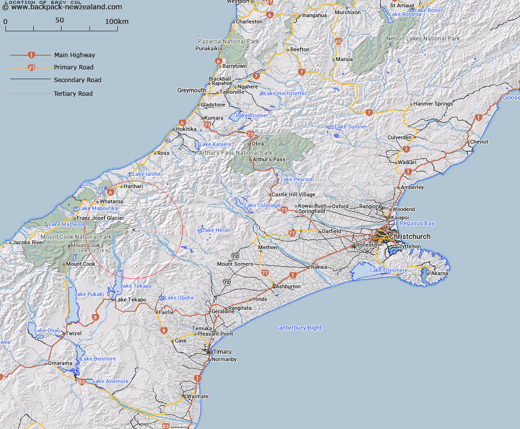
Map showing location of Easy Col


LINZ description: Pass on Murphy Spur above Forbes River, 4km East North-east of Mount Earle. Block X Torlesse Survey District.
Latitude: -43.473313
Longitude: 170.649435
Northing: 5183938.6
Easting: 1409883.6
Land District: Canterbury
Feat Type: Pass


Scroll down to see a more detailed road map and below that a topographical map showing the location of Easy Col. The road map has been supplied by openstreetmap and the topographical map of Easy Col has been supplied by Land Information New Zealand (LINZ).

Yes you can use the top static map for you school/university project or personal website with a link back. Contact me for any commercial use.

Easy Col Map New Zealand


New Zealand places in our database
[ A ] [ B ] [ C ] [ D ] [ E ] [ F ] [ G ] [ H ] [ I ] [ J ] [ K ] [ L ] [ M ] [ N ] [ O ] [ P ] [ Q ] [ R ] [ S ] [ T ] [ U ] [ V ] [ W ] [ X ] [ Y ] [ Z ]


Closest 20 Passs to Easy Col

Twilight Col ( 4.12km )   Terra Nova Pass ( 4.68km )   Revelation Col ( 4.78km )   Separation Col ( 4.93km )   St Winifred Col ( 5.08km )   Hidden Col ( 6.16km )   Dummy Col ( 6.32km )   Dennistoun Pass ( 6.88km )   Stewart Saddle ( 7.59km )   Plata Col ( 8.13km )   Balaclava Saddle ( 8.57km )   Balaclava Saddle ( 8.57km )   Gunn Pass ( 8.93km )   Sealy Pass ( 9.51km )   Alma Col ( 11.52km )   Fan Col ( 11.58km )   Veil Col ( 11.64km )   Maud Pass ( 11.83km )   Orb Col ( 11.9km )   Jacqueline Col ( 12.02km )   Cassandra Col ( 12.7km )   Grey Pass ( 13.53km )   Athene Col ( 14.16km )   Disappointment Saddle ( 14.35km )   Havelock Col ( 14.56km )   Inkerman Saddle ( 14.6km )   Tom Thumb Col ( 15.34km )   Helen Col ( 15.61km )   Perth Col ( 16.04km )   Lucknow Saddle ( 16.04km )   Angel Col ( 16.61km )   Vertebrae Col ( 17.03km )   Brabazon Saddle ( 17.03km )   Adams Col ( 17.17km )   Iceland Col ( 19.4km )   Classen Saddle ( 19.75km )   Whataroa Saddle ( 19.87km )   Satan Saddle ( 20.01km )   Armadillo Saddle ( 20.27km )   Battleaxe Col ( 20.8km )