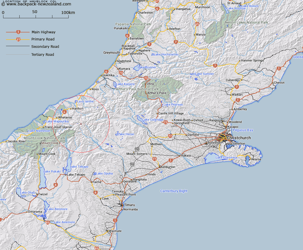
Map showing location of Havelock Col


LINZ description: Col on Main Divide, 1km west of Outram Peak. Above Havelock Glacier, at headwaters of Havelock River. Tyndall Survey District.
Latitude: -43.345756
Longitude: 170.689897
Northing: 5198196.8
Easting: 1412763.5
Land District: Canterbury, Westland
Feat Type: Pass


Scroll down to see a more detailed road map and below that a topographical map showing the location of Havelock Col. The road map has been supplied by openstreetmap and the topographical map of Havelock Col has been supplied by Land Information New Zealand (LINZ).

Yes you can use the top static map for you school/university project or personal website with a link back. Contact me for any commercial use.

Havelock Col Map New Zealand


New Zealand places in our database
[ A ] [ B ] [ C ] [ D ] [ E ] [ F ] [ G ] [ H ] [ I ] [ J ] [ K ] [ L ] [ M ] [ N ] [ O ] [ P ] [ Q ] [ R ] [ S ] [ T ] [ U ] [ V ] [ W ] [ X ] [ Y ] [ Z ]


Closest 20 Passs to Havelock Col

Disappointment Saddle ( 1.23km )   Lucknow Saddle ( 2.26km )   Perth Col ( 2.26km )   Adams Col ( 2.69km )   Orb Col ( 2.91km )   Angel Col ( 2.96km )   Satan Saddle ( 5.75km )   Veil Col ( 5.88km )   Vertebrae Col ( 6.15km )   Iceland Col ( 6.47km )   Fan Col ( 6.51km )   Gunn Pass ( 6.69km )   Lambert Col ( 9.25km )   Dennistoun Pass ( 9.73km )   Rangitata Col ( 9.81km )   Gadarene Col ( 9.98km )   Dummy Col ( 10.14km )   Malcolm Col ( 10.18km )   McCoy Col ( 10.26km )   Hidden Col ( 10.66km )   St Winifred Col ( 11.63km )   Terra Nova Pass ( 12.02km )   Toledo Col ( 12.37km )   Battleaxe Col ( 12.39km )   Stewart Saddle ( 12.67km )   Crossbow Saddle ( 13.09km )   Gladiator Col ( 13.09km )   Sealy Pass ( 13.94km )   Easy Col ( 14.56km )   Musterers Col ( 14.84km )   Bandolero Col ( 14.91km )   Revelation Col ( 15.5km )   Separation Col ( 16.08km )   Escape Col ( 16.32km )   Maud Pass ( 16.4km )   Jacqueline Col ( 16.65km )   Twilight Col ( 16.71km )   Camp Saddle ( 17.06km )   Ambrose Saddle ( 17.72km )   Strachan Pass ( 18.33km )