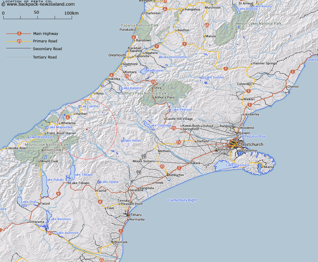
Map showing location of Perth Col


LINZ description: Col at head of Perth Glacier, 650m North of Quoin Peak. Tyndall Survey District.
Latitude: -43.337175
Longitude: 170.715207
Northing: 5199206.4
Easting: 1414788.9
Land District: Canterbury, Westland
Feat Type: Pass


Scroll down to see a more detailed road map and below that a topographical map showing the location of Perth Col. The road map has been supplied by openstreetmap and the topographical map of Perth Col has been supplied by Land Information New Zealand (LINZ).

Yes you can use the top static map for you school/university project or personal website with a link back. Contact me for any commercial use.

Perth Col Map New Zealand


New Zealand places in our database
[ A ] [ B ] [ C ] [ D ] [ E ] [ F ] [ G ] [ H ] [ I ] [ J ] [ K ] [ L ] [ M ] [ N ] [ O ] [ P ] [ Q ] [ R ] [ S ] [ T ] [ U ] [ V ] [ W ] [ X ] [ Y ] [ Z ]


Closest 20 Passs to Perth Col

Disappointment Saddle ( 1.75km )   Havelock Col ( 2.26km )   Adams Col ( 2.75km )   Satan Saddle ( 3.97km )   Angel Col ( 4.09km )   Orb Col ( 4.15km )   Veil Col ( 5.86km )   Fan Col ( 6.4km )   Lambert Col ( 7km )   Iceland Col ( 7.26km )   Rangitata Col ( 7.56km )   Gadarene Col ( 7.76km )   Vertebrae Col ( 7.77km )   Malcolm Col ( 7.93km )   McCoy Col ( 8.03km )   Gunn Pass ( 8.76km )   Toledo Col ( 10.32km )   Battleaxe Col ( 10.43km )   Gladiator Col ( 10.92km )   Crossbow Saddle ( 11.15km )   Dennistoun Pass ( 11.77km )   Dummy Col ( 12.13km )   Hidden Col ( 12.66km )   Musterers Col ( 12.95km )   Bandolero Col ( 12.99km )   St Winifred Col ( 13.56km )   Terra Nova Pass ( 13.93km )   Stewart Saddle ( 14.81km )   Camp Saddle ( 14.99km )   Ambrose Saddle ( 15.6km )   Easy Col ( 16.04km )   Strachan Pass ( 16.11km )   Sealy Pass ( 16.15km )   Revelation Col ( 17.41km )   Escape Col ( 17.71km )   Separation Col ( 17.98km )   Menace Gap ( 18.18km )   Twilight Col ( 18.52km )   Chowbok Col ( 18.6km )   Maud Pass ( 18.64km )