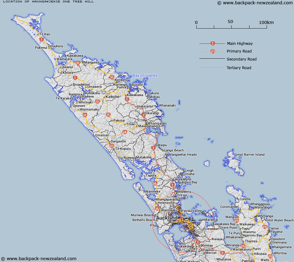
Map showing location of Maungakiekie / One Tree Hill


LINZ description: A hill at 213m in One Tree Hill (town) approximately 3km south-east of Maungawhau / Mount Eden (hill). NZTopo50-BA32 588147. Feature shown on: NZMS260 R11 Edition 2 1994
Latitude: -36.900111
Longitude: 174.783167
Northing: 5914723.9
Easting: 1758873.7
Land District: North Auckland
Feat Type: Hill


Scroll down to see a more detailed road map and below that a topographical map showing the location of Maungakiekie / One Tree Hill. The road map has been supplied by openstreetmap and the topographical map of Maungakiekie / One Tree Hill has been supplied by Land Information New Zealand (LINZ).

Yes you can use the top static map for you school/university project or personal website with a link back. Contact me for any commercial use.

Maungakiekie / One Tree Hill Map New Zealand


New Zealand places in our database
[ A ] [ B ] [ C ] [ D ] [ E ] [ F ] [ G ] [ H ] [ I ] [ J ] [ K ] [ L ] [ M ] [ N ] [ O ] [ P ] [ Q ] [ R ] [ S ] [ T ] [ U ] [ V ] [ W ] [ X ] [ Y ] [ Z ]


Closest 20 Hills to Maungakiekie / One Tree Hill

Maungakiekie / One Tree Hill ( 0km )   One Tree Hill ( 0km )   Mount Saint John ( 1.85km )   T?t?k?puke ( 1.85km )   Te K?puke ( 1.85km )   Mount Hobson ( 2.46km )   ?hinerau / Mount Hobson ( 2.46km )   Big King ( 2.56km )   Te T?tua-a-Riukiuta ( 2.56km )   Mount Eden ( 2.95km )   Maungawhau / Mount Eden ( 2.95km )   Rarotonga / Mount Smart ( 3.36km )   Pukew?w? ( 4.37km )   Mount Roskill ( 4.37km )   Puket?papa ( 4.37km )   Pukekawa ( 4.83km )   Hamlin Hill ( 5.14km )   Mutukaroa / Hamlin Hill ( 5.14km )   Te Pane-o-Mataoho ( 5.5km )   Te Ara Pueru ( 5.5km )   Te Ahi-k?-a-Rakataura ( 5.68km )   Mount Albert ( 5.68km )   ?wairaka ( 5.68km )   Maungarei / Mount Wellington ( 5.68km )   Mount Wellington ( 5.68km )   ?t?huhu / Mount Richmond ( 6.19km )   Mount Richmond ( 6.19km )   Mount Victoria ( 8.27km )   Takarunga / Mount Victoria ( 8.27km )   Maungauika ( 8.44km )   Takapuna ( 8.44km )   Taylor Hill ( 8.69km )   Taurere / Taylor Hill ( 8.69km )   Pigeon Mountain ( 10.78km )   ?huiarangi / Pigeon Mountain ( 10.78km )   Maungataketake ( 10.98km )   Puke o Tara ( 11.6km )   Matukut?ruru ( 13.53km )   McLaughlins Mountain ( 13.73km )   Matukut?reia / McLaughlins Mountain ( 13.73km )