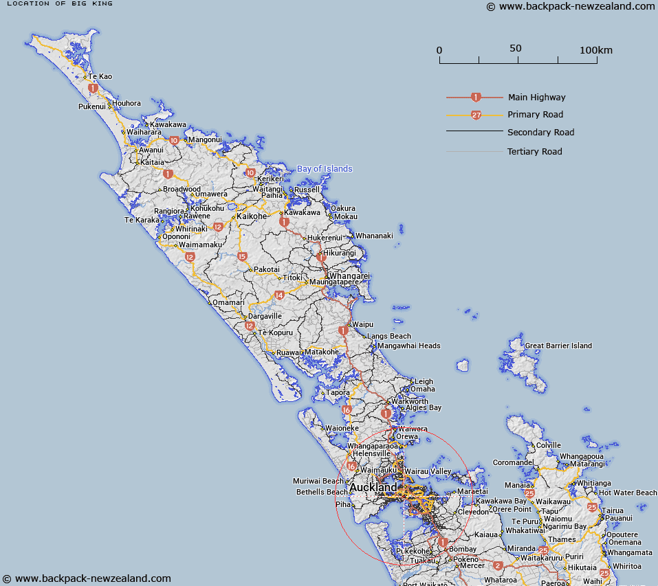
Map showing location of Big King


LINZ description: A hill at 138m in the suburb of Three Kings in Mount Roskill (town). NZTopo50-BA32 563145. Feature shown on: NZMS260 R11 Edition 2 1994
Latitude: -36.902944
Longitude: 174.754583
Northing: 5914456.7
Easting: 1756321
Land District: North Auckland
Feat Type: Hill


Scroll down to see a more detailed road map and below that a topographical map showing the location of Big King. The road map has been supplied by openstreetmap and the topographical map of Big King has been supplied by Land Information New Zealand (LINZ).

Yes you can use the top static map for you school/university project or personal website with a link back. Contact me for any commercial use.

Big King Map New Zealand


New Zealand places in our database
[ A ] [ B ] [ C ] [ D ] [ E ] [ F ] [ G ] [ H ] [ I ] [ J ] [ K ] [ L ] [ M ] [ N ] [ O ] [ P ] [ Q ] [ R ] [ S ] [ T ] [ U ] [ V ] [ W ] [ X ] [ Y ] [ Z ]


Closest 20 Hills to Big King

Te T?tua-a-Riukiuta ( 0km )   Big King ( 0km )   Pukew?w? ( 1.93km )   Mount Roskill ( 1.93km )   Puket?papa ( 1.93km )   One Tree Hill ( 2.56km )   Maungakiekie / One Tree Hill ( 2.56km )   Mount Eden ( 2.89km )   Maungawhau / Mount Eden ( 2.89km )   Te K?puke ( 3.16km )   T?t?k?puke ( 3.16km )   Mount Saint John ( 3.16km )   Te Ahi-k?-a-Rakataura ( 3.31km )   Mount Albert ( 3.31km )   ?wairaka ( 3.31km )   ?hinerau / Mount Hobson ( 4.01km )   Mount Hobson ( 4.01km )   Pukekawa ( 5.4km )   Rarotonga / Mount Smart ( 5.55km )   Te Ara Pueru ( 5.75km )   Te Pane-o-Mataoho ( 5.75km )   Mutukaroa / Hamlin Hill ( 7.36km )   Hamlin Hill ( 7.36km )   ?t?huhu / Mount Richmond ( 8.22km )   Mount Richmond ( 8.22km )   Mount Wellington ( 8.25km )   Maungarei / Mount Wellington ( 8.25km )   Takarunga / Mount Victoria ( 9.33km )   Mount Victoria ( 9.33km )   Takapuna ( 9.8km )   Maungauika ( 9.8km )   Maungataketake ( 10.22km )   Taurere / Taylor Hill ( 11.13km )   Taylor Hill ( 11.13km )   ?huiarangi / Pigeon Mountain ( 13.34km )   Pigeon Mountain ( 13.34km )   Puke o Tara ( 13.75km )   Matukut?reia / McLaughlins Mountain ( 14.68km )   McLaughlins Mountain ( 14.68km )   Matukut?ruru ( 14.69km )