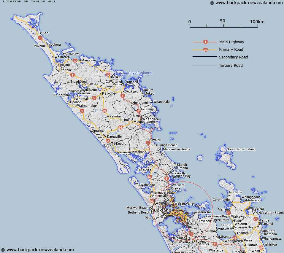
Map showing location of Taylor Hill


LINZ description: A hill at 57m in Glendowie (suburb), approximately 1km south-west of Holder Lookout. NZTopo50-BA32 667185. Feature shown on: NZMS260 R11 Edition 2 1994
Latitude: -36.86452
Longitude: 174.870101
Northing: 5918524.3
Easting: 1766697.4
Land District: North Auckland
Feat Type: Hill


Scroll down to see a more detailed road map and below that a topographical map showing the location of Taylor Hill. The road map has been supplied by openstreetmap and the topographical map of Taylor Hill has been supplied by Land Information New Zealand (LINZ).

Yes you can use the top static map for you school/university project or personal website with a link back. Contact me for any commercial use.

Taylor Hill Map New Zealand


New Zealand places in our database
[ A ] [ B ] [ C ] [ D ] [ E ] [ F ] [ G ] [ H ] [ I ] [ J ] [ K ] [ L ] [ M ] [ N ] [ O ] [ P ] [ Q ] [ R ] [ S ] [ T ] [ U ] [ V ] [ W ] [ X ] [ Y ] [ Z ]


Closest 20 Hills to Taylor Hill

Mount Wellington ( 3.8km )   Maungarei / Mount Wellington ( 3.8km )   Pigeon Mountain ( 4.01km )   ?huiarangi / Pigeon Mountain ( 4.01km )   Maungauika ( 6.58km )   Takapuna ( 6.58km )   Hamlin Hill ( 7.22km )   Mutukaroa / Hamlin Hill ( 7.22km )   Mount Hobson ( 7.51km )   ?hinerau / Mount Hobson ( 7.51km )   Takarunga / Mount Victoria ( 7.64km )   Mount Victoria ( 7.64km )   Rarotonga / Mount Smart ( 7.66km )   ?t?huhu / Mount Richmond ( 8.21km )   Mount Richmond ( 8.21km )   T?t?k?puke ( 8.24km )   Te K?puke ( 8.24km )   Mount Saint John ( 8.24km )   Pukekawa ( 8.51km )   Rangitoto ( 8.56km )   Maungakiekie / One Tree Hill ( 8.69km )   One Tree Hill ( 8.69km )   Maungawhau / Mount Eden ( 9.51km )   Mount Eden ( 9.51km )   Puke o Tara ( 9.9km )   Te T?tua-a-Riukiuta ( 11.13km )   Big King ( 11.13km )   Te Ara Pueru ( 12.24km )   Te Pane-o-Mataoho ( 12.24km )   Puket?papa ( 13.02km )   Mount Roskill ( 13.02km )   Pukew?w? ( 13.02km )   Mount Albert ( 13.65km )   ?wairaka ( 13.65km )   Te Ahi-k?-a-Rakataura ( 13.65km )   Matukut?ruru ( 15.78km )   Pukekawa ( 16.48km )   Matukut?reia / McLaughlins Mountain ( 16.65km )   McLaughlins Mountain ( 16.65km )   Maungataketake ( 18.12km )