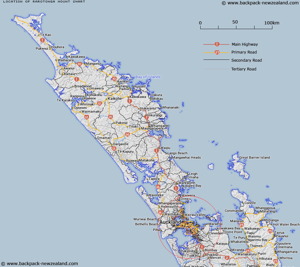
Map showing location of Rarotonga / Mount Smart


LINZ description: A hill between Onehunga (town) and Mount Wellington (town). NZTopo50-BA32 616128.
Latitude: -36.917116
Longitude: 174.814465
Northing: 5912784.7
Easting: 1761626.6
Land District: North Auckland
Feat Type: Hill


Scroll down to see a more detailed road map and below that a topographical map showing the location of Rarotonga / Mount Smart. The road map has been supplied by openstreetmap and the topographical map of Rarotonga / Mount Smart has been supplied by Land Information New Zealand (LINZ).

Yes you can use the top static map for you school/university project or personal website with a link back. Contact me for any commercial use.

Rarotonga / Mount Smart Map New Zealand


New Zealand places in our database
[ A ] [ B ] [ C ] [ D ] [ E ] [ F ] [ G ] [ H ] [ I ] [ J ] [ K ] [ L ] [ M ] [ N ] [ O ] [ P ] [ Q ] [ R ] [ S ] [ T ] [ U ] [ V ] [ W ] [ X ] [ Y ] [ Z ]


Closest 20 Hills to Rarotonga / Mount Smart

Hamlin Hill ( 1.81km )   Mutukaroa / Hamlin Hill ( 1.81km )   Mount Richmond ( 2.84km )   ?t?huhu / Mount Richmond ( 2.84km )   One Tree Hill ( 3.36km )   Maungakiekie / One Tree Hill ( 3.36km )   Mount Wellington ( 3.91km )   Maungarei / Mount Wellington ( 3.91km )   Te Ara Pueru ( 4.58km )   Te Pane-o-Mataoho ( 4.58km )   T?t?k?puke ( 4.79km )   Mount Saint John ( 4.79km )   Te K?puke ( 4.79km )   Mount Hobson ( 4.95km )   ?hinerau / Mount Hobson ( 4.95km )   Te T?tua-a-Riukiuta ( 5.55km )   Big King ( 5.55km )   Maungawhau / Mount Eden ( 6.2km )   Mount Eden ( 6.2km )   Puket?papa ( 6.93km )   Pukew?w? ( 6.93km )   Mount Roskill ( 6.93km )   Pukekawa ( 7.53km )   Taylor Hill ( 7.66km )   Taurere / Taylor Hill ( 7.66km )   Puke o Tara ( 8.25km )   Pigeon Mountain ( 8.52km )   ?huiarangi / Pigeon Mountain ( 8.52km )   Mount Albert ( 8.85km )   ?wairaka ( 8.85km )   Te Ahi-k?-a-Rakataura ( 8.85km )   Takapuna ( 9.93km )   Maungauika ( 9.93km )   Mount Victoria ( 10.15km )   Takarunga / Mount Victoria ( 10.15km )   Maungataketake ( 10.48km )   Matukut?ruru ( 10.62km )   Matukut?reia / McLaughlins Mountain ( 11.02km )   McLaughlins Mountain ( 11.02km )   Rangitoto ( 14.86km )