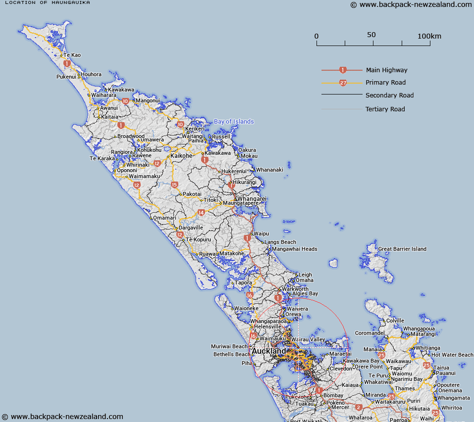
Map showing location of Maungauika


LINZ description: A hill at 65m above North Head near Devonport. NZTopo50-BA32 616227.
Latitude: -36.827823
Longitude: 174.812134
Northing: 5922695.3
Easting: 1761607
Land District: North Auckland
Feat Type: Hill


Scroll down to see a more detailed road map and below that a topographical map showing the location of Maungauika. The road map has been supplied by openstreetmap and the topographical map of Maungauika has been supplied by Land Information New Zealand (LINZ).

Yes you can use the top static map for you school/university project or personal website with a link back. Contact me for any commercial use.

Maungauika Map New Zealand


New Zealand places in our database
[ A ] [ B ] [ C ] [ D ] [ E ] [ F ] [ G ] [ H ] [ I ] [ J ] [ K ] [ L ] [ M ] [ N ] [ O ] [ P ] [ Q ] [ R ] [ S ] [ T ] [ U ] [ V ] [ W ] [ X ] [ Y ] [ Z ]


Closest 20 Hills to Maungauika

Takarunga / Mount Victoria ( 1.22km )   Mount Victoria ( 1.22km )   Pukekawa ( 4.65km )   ?hinerau / Mount Hobson ( 6.02km )   Mount Hobson ( 6.02km )   Rangitoto ( 6.02km )   Taylor Hill ( 6.58km )   Taurere / Taylor Hill ( 6.58km )   T?t?k?puke ( 6.8km )   Te K?puke ( 6.8km )   Mount Saint John ( 6.8km )   Mount Eden ( 7.02km )   Maungawhau / Mount Eden ( 7.02km )   Mount Wellington ( 7.87km )   Maungarei / Mount Wellington ( 7.87km )   Maungakiekie / One Tree Hill ( 8.44km )   One Tree Hill ( 8.44km )   Te T?tua-a-Riukiuta ( 9.8km )   Big King ( 9.8km )   Rarotonga / Mount Smart ( 9.93km )   ?huiarangi / Pigeon Mountain ( 10.58km )   Pigeon Mountain ( 10.58km )   Hamlin Hill ( 10.71km )   Mutukaroa / Hamlin Hill ( 10.71km )   Te Ahi-k?-a-Rakataura ( 10.8km )   ?wairaka ( 10.8km )   Mount Albert ( 10.8km )   Pukew?w? ( 11.59km )   Mount Roskill ( 11.59km )   Puket?papa ( 11.59km )   Mount Richmond ( 12.03km )   ?t?huhu / Mount Richmond ( 12.03km )   Te Pane-o-Mataoho ( 13.79km )   Te Ara Pueru ( 13.79km )   Puke o Tara ( 15.63km )   Maungataketake ( 19.42km )   Matukut?ruru ( 20.24km )   McLaughlins Mountain ( 20.8km )   Matukut?reia / McLaughlins Mountain ( 20.8km )   Rangiona ( 22.39km )