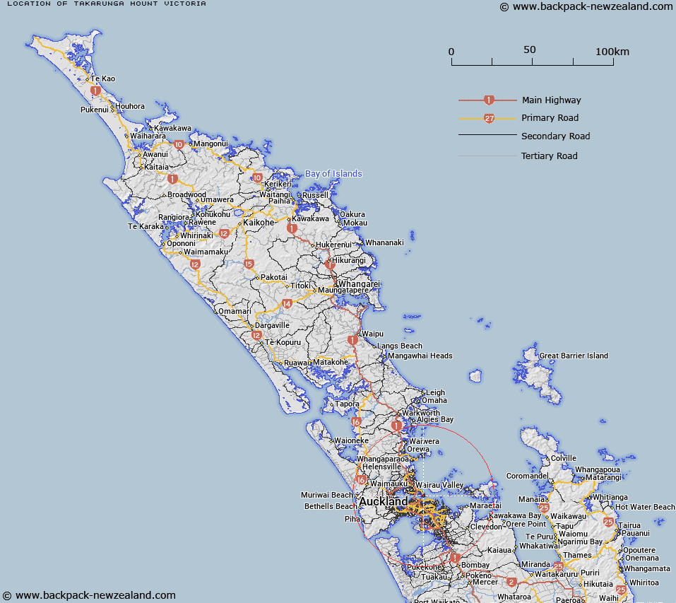
Map showing location of Takarunga / Mount Victoria


LINZ description: A hill at 81m in Devonport, approximately 1km west of North Head. NZTopo50-BA32 604229. Feature shown on: NZMS260 R11 Edition 2 1994
Latitude: -36.826722
Longitude: 174.798444
Northing: 5922840.5
Easting: 1760388.4
Land District: North Auckland
Feat Type: Hill


Scroll down to see a more detailed road map and below that a topographical map showing the location of Takarunga / Mount Victoria. The road map has been supplied by openstreetmap and the topographical map of Takarunga / Mount Victoria has been supplied by Land Information New Zealand (LINZ).

Yes you can use the top static map for you school/university project or personal website with a link back. Contact me for any commercial use.

Takarunga / Mount Victoria Map New Zealand


New Zealand places in our database
[ A ] [ B ] [ C ] [ D ] [ E ] [ F ] [ G ] [ H ] [ I ] [ J ] [ K ] [ L ] [ M ] [ N ] [ O ] [ P ] [ Q ] [ R ] [ S ] [ T ] [ U ] [ V ] [ W ] [ X ] [ Y ] [ Z ]


Closest 20 Hills to Takarunga / Mount Victoria

Takapuna ( 1.22km )   Maungauika ( 1.22km )   Pukekawa ( 3.99km )   ?hinerau / Mount Hobson ( 5.81km )   Mount Hobson ( 5.81km )   Mount Eden ( 6.47km )   Maungawhau / Mount Eden ( 6.47km )   T?t?k?puke ( 6.52km )   Te K?puke ( 6.52km )   Mount Saint John ( 6.52km )   Rangitoto ( 6.83km )   Taylor Hill ( 7.64km )   Taurere / Taylor Hill ( 7.64km )   Maungakiekie / One Tree Hill ( 8.27km )   One Tree Hill ( 8.27km )   Maungarei / Mount Wellington ( 8.52km )   Mount Wellington ( 8.52km )   Te T?tua-a-Riukiuta ( 9.33km )   Big King ( 9.33km )   Te Ahi-k?-a-Rakataura ( 10km )   ?wairaka ( 10km )   Mount Albert ( 10km )   Rarotonga / Mount Smart ( 10.15km )   Pukew?w? ( 11.03km )   Puket?papa ( 11.03km )   Mount Roskill ( 11.03km )   Mutukaroa / Hamlin Hill ( 11.11km )   Hamlin Hill ( 11.11km )   Pigeon Mountain ( 11.61km )   ?huiarangi / Pigeon Mountain ( 11.61km )   Mount Richmond ( 12.44km )   ?t?huhu / Mount Richmond ( 12.44km )   Te Pane-o-Mataoho ( 13.73km )   Te Ara Pueru ( 13.73km )   Puke o Tara ( 16.36km )   Maungataketake ( 19.22km )   Matukut?ruru ( 20.64km )   Matukut?reia / McLaughlins Mountain ( 21.13km )   McLaughlins Mountain ( 21.13km )   Rangiona ( 23.59km )