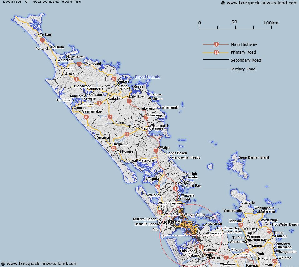
Map showing location of McLaughlins Mountain


LINZ description: A hill at 72m approximately 1km north north-west of Puhinui Creek near Manurewa. NZTopo50-BB32 642021. Feature shown on: NZMS260 R11 Edition 2 1994
Latitude: -37.012972
Longitude: 174.845833
Northing: 5902095.9
Easting: 1764215
Land District: North Auckland
Feat Type: Hill


Scroll down to see a more detailed road map and below that a topographical map showing the location of McLaughlins Mountain. The road map has been supplied by openstreetmap and the topographical map of McLaughlins Mountain has been supplied by Land Information New Zealand (LINZ).

Yes you can use the top static map for you school/university project or personal website with a link back. Contact me for any commercial use.

McLaughlins Mountain Map New Zealand


New Zealand places in our database
[ A ] [ B ] [ C ] [ D ] [ E ] [ F ] [ G ] [ H ] [ I ] [ J ] [ K ] [ L ] [ M ] [ N ] [ O ] [ P ] [ Q ] [ R ] [ S ] [ T ] [ U ] [ V ] [ W ] [ X ] [ Y ] [ Z ]


Closest 20 Hills to McLaughlins Mountain

Matukut?ruru ( 1.31km )   Puke o Tara ( 8.28km )   Mount Richmond ( 8.82km )   ?t?huhu / Mount Richmond ( 8.82km )   Maungataketake ( 8.97km )   Te Pane-o-Mataoho ( 9.01km )   Te Ara Pueru ( 9.01km )   Hamlin Hill ( 10.11km )   Mutukaroa / Hamlin Hill ( 10.11km )   Rarotonga / Mount Smart ( 11.02km )   Mount Wellington ( 13.34km )   Maungarei / Mount Wellington ( 13.34km )   One Tree Hill ( 13.73km )   Maungakiekie / One Tree Hill ( 13.73km )   Te T?tua-a-Riukiuta ( 14.68km )   Big King ( 14.68km )   ?huiarangi / Pigeon Mountain ( 14.74km )   Pigeon Mountain ( 14.74km )   Pukew?w? ( 14.77km )   Puket?papa ( 14.77km )   Mount Roskill ( 14.77km )   Red Hill ( 14.84km )   Pukekiwiriki ( 14.84km )   Mount Saint John ( 15.51km )   T?t?k?puke ( 15.51km )   Te K?puke ( 15.51km )   Mount Hobson ( 15.86km )   ?hinerau / Mount Hobson ( 15.86km )   Mount Eden ( 16.64km )   Maungawhau / Mount Eden ( 16.64km )   Taurere / Taylor Hill ( 16.65km )   Taylor Hill ( 16.65km )   ?wairaka ( 17.53km )   Te Ahi-k?-a-Rakataura ( 17.53km )   Mount Albert ( 17.53km )   Opaheke ( 18.41km )   Pukekawa ( 18.43km )   Maungauika ( 20.8km )   Takapuna ( 20.8km )   Takarunga / Mount Victoria ( 21.13km )