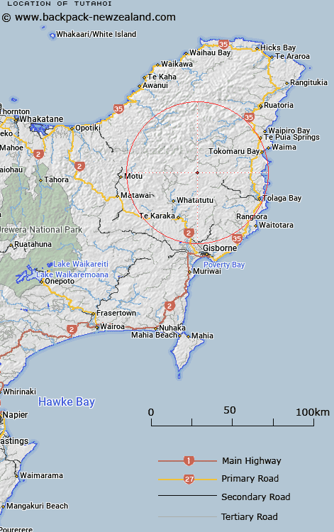
Map showing location of Tutamoi
LINZ description: Trig. Station 178 (Geodetic Code B005) on a hill (997m) situated 1km North-east of the headwaters of Mangatuamaru Stream. Block XIV Tutamoe Survey District.
Latitude: -38.234771
Longitude: 177.967456
Northing: 5756453
Easting: 2034863.6
Land District: Gisborne
Feat Type: Trig Station
Latitude: -38.234771
Longitude: 177.967456
Northing: 5756453
Easting: 2034863.6
Land District: Gisborne
Feat Type: Trig Station

Scroll down to see a more detailed road map and below that a topographical map showing the location of Tutamoi. The road map has been supplied by openstreetmap and the topographical map of Tutamoi has been supplied by Land Information New Zealand (LINZ).
Yes you can use the top static map for you school/university project or personal website with a link back. Contact me for any commercial use.
[ A ] [ B ] [ C ] [ D ] [ E ] [ F ] [ G ] [ H ] [ I ] [ J ] [ K ] [ L ] [ M ] [ N ] [ O ] [ P ] [ Q ] [ R ] [ S ] [ T ] [ U ] [ V ] [ W ] [ X ] [ Y ] [ Z ]