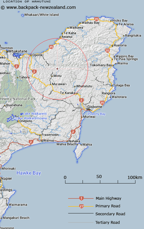
Map showing location of Hamutuni


LINZ description: Located approximately 20 km south-west of Raukumara Range on Mount Hamutuni (height: 918m).
Latitude: -38.171251
Longitude: 177.616772
Northing: 5765100
Easting: 2004500
Land District: Gisborne
Feat Type: Trig Station


Scroll down to see a more detailed road map and below that a topographical map showing the location of Hamutuni. The road map has been supplied by openstreetmap and the topographical map of Hamutuni has been supplied by Land Information New Zealand (LINZ).

Yes you can use the top static map for you school/university project or personal website with a link back. Contact me for any commercial use.

Hamutuni Map New Zealand


New Zealand places in our database
[ A ] [ B ] [ C ] [ D ] [ E ] [ F ] [ G ] [ H ] [ I ] [ J ] [ K ] [ L ] [ M ] [ N ] [ O ] [ P ] [ Q ] [ R ] [ S ] [ T ] [ U ] [ V ] [ W ] [ X ] [ Y ] [ Z ]


Closest 20 Trig Stations to Hamutuni

Ngawehenga ( 6.52km )   Ngawhenga ( 6.52km )   Te Atua Ahutapu ( 14.08km )   Te Atuahautapu ( 14.08km )   Te Pakera ( 14.19km )   Te Pakora ( 14.19km )   Mangahaumia ( 14.89km )   Maungahaumi ( 14.89km )   Maungahunia ( 14.89km )   Pukekiore ( 15.32km )   Motuhora ( 16.31km )   Moutohora ( 16.31km )   Te Iwiroa ( 17.42km )   Te Iwi Roa ( 17.42km )   Ratatahi ( 19.04km )   Ratahi ( 19.04km )   Tawhiti ( 19.38km )   Tawhitiapaka ( 19.38km )   Puhikereru ( 22.62km )   Pukekeruru ( 22.62km )   Tarakeho ( 27.42km )   Tarakeha ( 27.42km )   Tutamoe ( 31.45km )   Tutamoi ( 31.45km )   Meringahei ( 32.55km )   Miringahei ( 32.55km )   Maungawhiorangi ( 32.65km )   Pataua ( 44.26km )   Patawa ( 44.26km )   Tapapanui ( 47.09km )   Ngapuketurua ( 47.9km )   Ngapukeriki ( 47.9km )   Paripoupou ( 56.02km )   Parepoupou ( 56.02km )   Kohirikiriki ( 56.58km )   Koherekireki ( 56.58km )   Pokiameha ( 57.94km )   Tokiameha ( 57.94km )   Te Aitangaamahaki ( 61.37km )   Te Itanga Mahaki ( 61.37km )