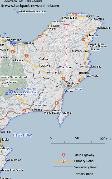
Map showing location of Miringahei
LINZ description: Located approximately 10km south-east of Raukumara Range, on Miringahei (hill) with a height of 855m.
Latitude: -38.085556
Longitude: 177.972542
Northing: 5773000
Easting: 2036200
Land District: Gisborne
Feat Type: Trig Station
Latitude: -38.085556
Longitude: 177.972542
Northing: 5773000
Easting: 2036200
Land District: Gisborne
Feat Type: Trig Station

Scroll down to see a more detailed road map and below that a topographical map showing the location of Miringahei. The road map has been supplied by openstreetmap and the topographical map of Miringahei has been supplied by Land Information New Zealand (LINZ).
Yes you can use the top static map for you school/university project or personal website with a link back. Contact me for any commercial use.
[ A ] [ B ] [ C ] [ D ] [ E ] [ F ] [ G ] [ H ] [ I ] [ J ] [ K ] [ L ] [ M ] [ N ] [ O ] [ P ] [ Q ] [ R ] [ S ] [ T ] [ U ] [ V ] [ W ] [ X ] [ Y ] [ Z ]