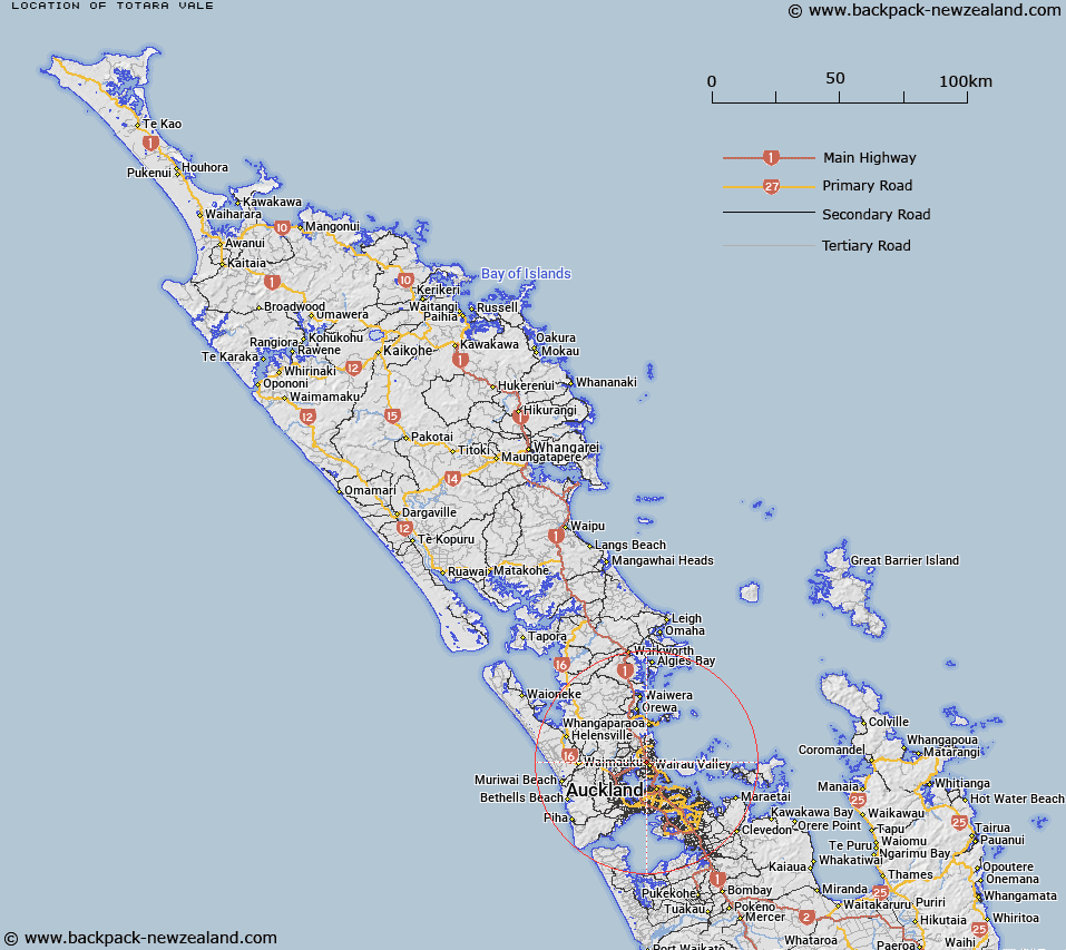
Map showing location of Totara Vale
LINZ description: North Shore City suburb north of Glenfield and in between Unsworth Heights and Sunnynook.
Latitude: -36.762339
Longitude: 174.727614
Northing: 5930100
Easting: 1754200.1
Land District: North Auckland
Feat Type: Suburb
Latitude: -36.762339
Longitude: 174.727614
Northing: 5930100
Easting: 1754200.1
Land District: North Auckland
Feat Type: Suburb

Scroll down to see a more detailed road map and below that a topographical map showing the location of Totara Vale. The road map has been supplied by openstreetmap and the topographical map of Totara Vale has been supplied by Land Information New Zealand (LINZ).
Yes you can use the top static map for you school/university project or personal website with a link back. Contact me for any commercial use.
[ A ] [ B ] [ C ] [ D ] [ E ] [ F ] [ G ] [ H ] [ I ] [ J ] [ K ] [ L ] [ M ] [ N ] [ O ] [ P ] [ Q ] [ R ] [ S ] [ T ] [ U ] [ V ] [ W ] [ X ] [ Y ] [ Z ]