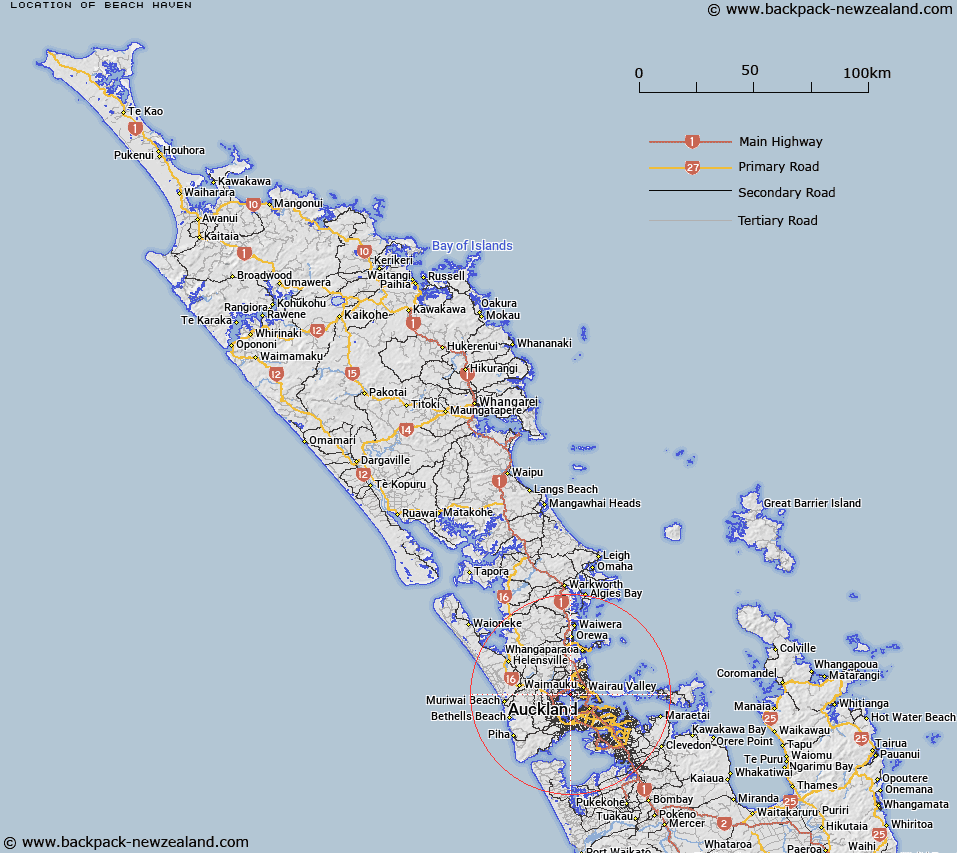
Map showing location of Beach Haven
LINZ description: North Shore City suburb bordered to the west by the Waitemata Harbour and to the east by Birkdale.
Latitude: -36.798929
Longitude: 174.690327
Northing: 5926100
Easting: 1750800
Land District: North Auckland
Feat Type: Suburb
Latitude: -36.798929
Longitude: 174.690327
Northing: 5926100
Easting: 1750800
Land District: North Auckland
Feat Type: Suburb

Scroll down to see a more detailed road map and below that a topographical map showing the location of Beach Haven. The road map has been supplied by openstreetmap and the topographical map of Beach Haven has been supplied by Land Information New Zealand (LINZ).
Yes you can use the top static map for you school/university project or personal website with a link back. Contact me for any commercial use.
[ A ] [ B ] [ C ] [ D ] [ E ] [ F ] [ G ] [ H ] [ I ] [ J ] [ K ] [ L ] [ M ] [ N ] [ O ] [ P ] [ Q ] [ R ] [ S ] [ T ] [ U ] [ V ] [ W ] [ X ] [ Y ] [ Z ]