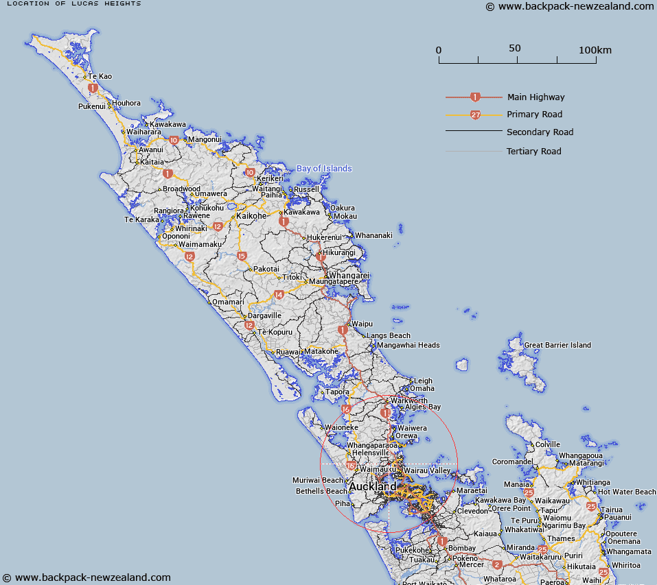
Map showing location of Lucas Heights
LINZ description: North Shore City suburb bounded by Paremoremo to the south, Lucas Creek to the east, and Albany Heights to the north, as well as Rodney District boundary to the north west.
Latitude: -36.734255
Longitude: 174.67451
Northing: 5933300
Easting: 1749514.3
Land District: North Auckland
Feat Type: Suburb
Latitude: -36.734255
Longitude: 174.67451
Northing: 5933300
Easting: 1749514.3
Land District: North Auckland
Feat Type: Suburb

Scroll down to see a more detailed road map and below that a topographical map showing the location of Lucas Heights. The road map has been supplied by openstreetmap and the topographical map of Lucas Heights has been supplied by Land Information New Zealand (LINZ).
Yes you can use the top static map for you school/university project or personal website with a link back. Contact me for any commercial use.
[ A ] [ B ] [ C ] [ D ] [ E ] [ F ] [ G ] [ H ] [ I ] [ J ] [ K ] [ L ] [ M ] [ N ] [ O ] [ P ] [ Q ] [ R ] [ S ] [ T ] [ U ] [ V ] [ W ] [ X ] [ Y ] [ Z ]