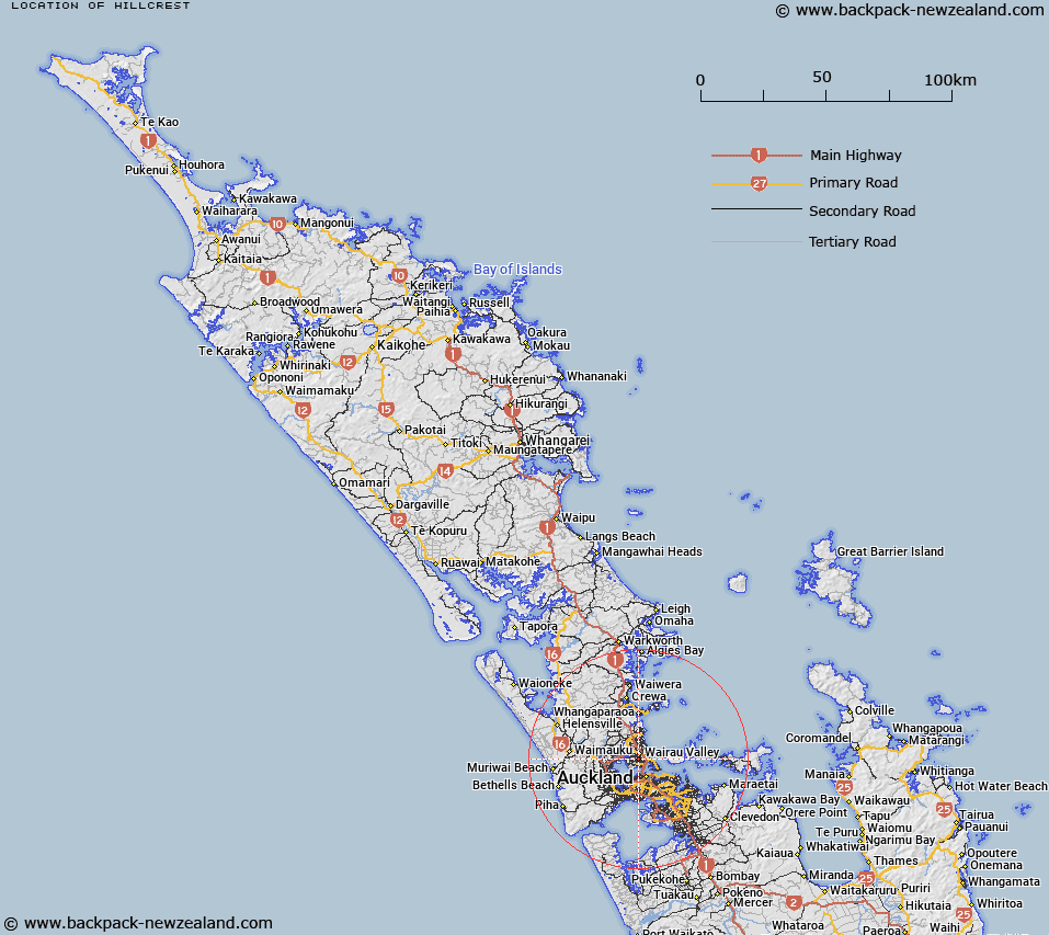
Map showing location of Hillcrest
LINZ description: North Shore City suburb between and north of Birkenhead and Northcote, and south of Glenfield and Wairau Valley.
Latitude: -36.793778
Longitude: 174.735043
Northing: 5926600
Easting: 1754800
Land District: North Auckland
Feat Type: Suburb
Latitude: -36.793778
Longitude: 174.735043
Northing: 5926600
Easting: 1754800
Land District: North Auckland
Feat Type: Suburb

Scroll down to see a more detailed road map and below that a topographical map showing the location of Hillcrest. The road map has been supplied by openstreetmap and the topographical map of Hillcrest has been supplied by Land Information New Zealand (LINZ).
Yes you can use the top static map for you school/university project or personal website with a link back. Contact me for any commercial use.
[ A ] [ B ] [ C ] [ D ] [ E ] [ F ] [ G ] [ H ] [ I ] [ J ] [ K ] [ L ] [ M ] [ N ] [ O ] [ P ] [ Q ] [ R ] [ S ] [ T ] [ U ] [ V ] [ W ] [ X ] [ Y ] [ Z ]