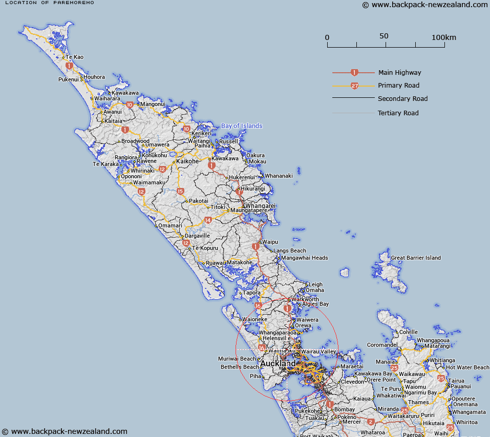
Map showing location of Paremoremo
LINZ description: Western most North Shore City suburb bounded by the upper reaches of the Waitemata Harbour and Lucas Creek, as well as Lucas Heights to the north east and Rodney District to the west. Feature shown on: NZMS260 R10 Edition 2 1994
Latitude: -36.755295
Longitude: 174.652403
Northing: 5931000
Easting: 1747500
Land District: North Auckland
Feat Type: Suburb
Latitude: -36.755295
Longitude: 174.652403
Northing: 5931000
Easting: 1747500
Land District: North Auckland
Feat Type: Suburb

Scroll down to see a more detailed road map and below that a topographical map showing the location of Paremoremo. The road map has been supplied by openstreetmap and the topographical map of Paremoremo has been supplied by Land Information New Zealand (LINZ).
Yes you can use the top static map for you school/university project or personal website with a link back. Contact me for any commercial use.
[ A ] [ B ] [ C ] [ D ] [ E ] [ F ] [ G ] [ H ] [ I ] [ J ] [ K ] [ L ] [ M ] [ N ] [ O ] [ P ] [ Q ] [ R ] [ S ] [ T ] [ U ] [ V ] [ W ] [ X ] [ Y ] [ Z ]