Map showing location of Castor Bay
LINZ description: North Shore City suburb on the Hauraki Gulf coast between Campbells Bay and Milford. Feature shown on: NZMS260 R10
Latitude: -36.760945
Longitude: 174.761189
Northing: 5930200
Easting: 1757200
Land District: North Auckland
Feat Type: Suburb
Latitude: -36.760945
Longitude: 174.761189
Northing: 5930200
Easting: 1757200
Land District: North Auckland
Feat Type: Suburb

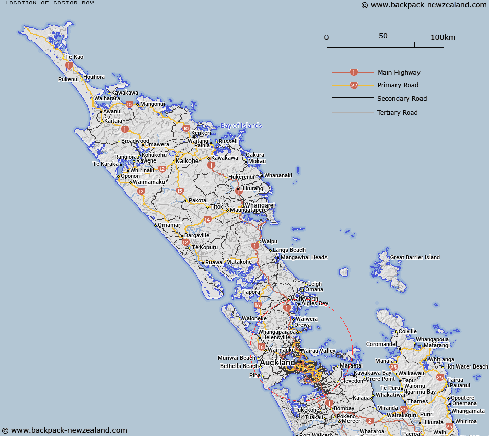
Scroll down to see a more detailed road map and below that a topographical map showing the location of Castor Bay. The road map has been supplied by openstreetmap and the topographical map of Castor Bay has been supplied by Land Information New Zealand (LINZ).
Yes you can use the top static map for you school/university project or personal website with a link back. Contact me for any commercial use.
[ A ] [ B ] [ C ] [ D ] [ E ] [ F ] [ G ] [ H ] [ I ] [ J ] [ K ] [ L ] [ M ] [ N ] [ O ] [ P ] [ Q ] [ R ] [ S ] [ T ] [ U ] [ V ] [ W ] [ X ] [ Y ] [ Z ]