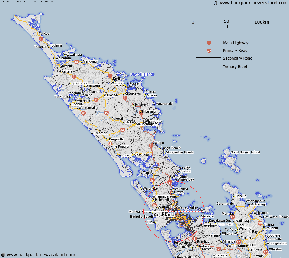
Map showing location of Chatswood
LINZ description: North Shore City suburb well defined by ridgelines to the north and consists of bush clad slopes facing south towards the Waitemata Harbour, which define the west and south coasts, Birkenhead meets the north and eastern boundaries.
Latitude: -36.819382
Longitude: 174.709836
Northing: 5923800
Easting: 1752500
Land District: North Auckland
Feat Type: Suburb
Latitude: -36.819382
Longitude: 174.709836
Northing: 5923800
Easting: 1752500
Land District: North Auckland
Feat Type: Suburb

Scroll down to see a more detailed road map and below that a topographical map showing the location of Chatswood. The road map has been supplied by openstreetmap and the topographical map of Chatswood has been supplied by Land Information New Zealand (LINZ).
Yes you can use the top static map for you school/university project or personal website with a link back. Contact me for any commercial use.
[ A ] [ B ] [ C ] [ D ] [ E ] [ F ] [ G ] [ H ] [ I ] [ J ] [ K ] [ L ] [ M ] [ N ] [ O ] [ P ] [ Q ] [ R ] [ S ] [ T ] [ U ] [ V ] [ W ] [ X ] [ Y ] [ Z ]