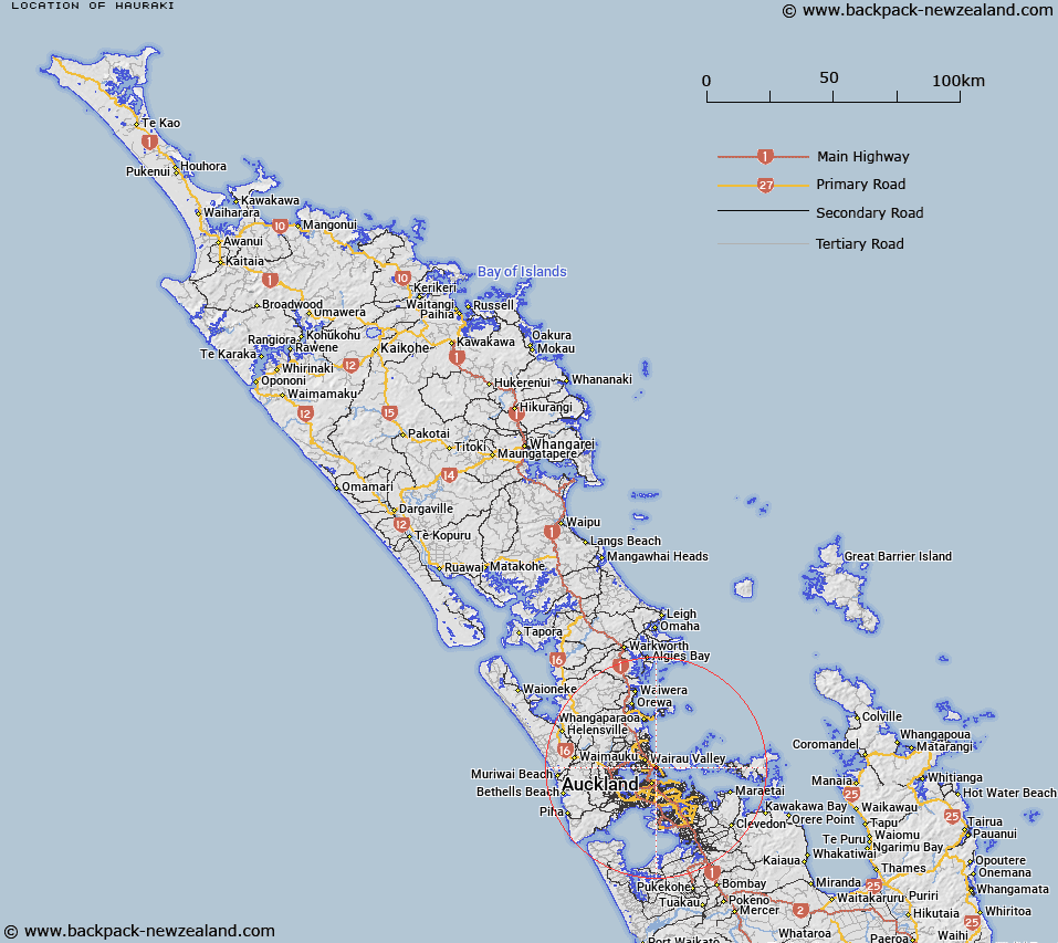
Map showing location of Hauraki
LINZ description: North Shore City suburb bounded by the Waitemata Harbour to the west and the Hauraki Gulf to the east, with Takapuna and Belmont to the north and south respectively.
Latitude: -36.799474
Longitude: 174.776642
Northing: 5925900
Easting: 1758500
Land District: North Auckland
Feat Type: Suburb
Latitude: -36.799474
Longitude: 174.776642
Northing: 5925900
Easting: 1758500
Land District: North Auckland
Feat Type: Suburb

Scroll down to see a more detailed road map and below that a topographical map showing the location of Hauraki. The road map has been supplied by openstreetmap and the topographical map of Hauraki has been supplied by Land Information New Zealand (LINZ).
Yes you can use the top static map for you school/university project or personal website with a link back. Contact me for any commercial use.
[ A ] [ B ] [ C ] [ D ] [ E ] [ F ] [ G ] [ H ] [ I ] [ J ] [ K ] [ L ] [ M ] [ N ] [ O ] [ P ] [ Q ] [ R ] [ S ] [ T ] [ U ] [ V ] [ W ] [ X ] [ Y ] [ Z ]