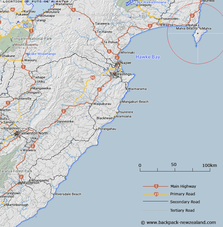
Map showing location of Puto-oe-a-Patua


LINZ description: In center of Mahia Peninsula.
Latitude: -39.141913
Longitude: 177.884317
Northing: 5656100
Easting: 2022200
Land District: Hawke's Bay
Feat Type: Trig Station
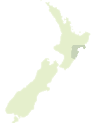

Scroll down to see a more detailed road map and below that a topographical map showing the location of Puto-oe-a-Patua. The road map has been supplied by openstreetmap and the topographical map of Puto-oe-a-Patua has been supplied by Land Information New Zealand (LINZ).

Yes you can use the top static map for you school/university project or personal website with a link back. Contact me for any commercial use.
Puto-oe-a-Patua Map New Zealand


New Zealand places in our database
[ A ] [ B ] [ C ] [ D ] [ E ] [ F ] [ G ] [ H ] [ I ] [ J ] [ K ] [ L ] [ M ] [ N ] [ O ] [ P ] [ Q ] [ R ] [ S ] [ T ] [ U ] [ V ] [ W ] [ X ] [ Y ] [ Z ]


Closest 20 Trig Stations to Puto-oe-a-Patua

Taupiri ( 4.02km )   Rahuimokairoa ( 5.12km )   Moumoukai ( 22.71km )   Whakaumuatanetaako ( 28.96km )   Whakaumuataneteko ( 28.96km )   Pukaroronui ( 34.62km )   Rarepe ( 40.87km )   Rerepi ( 40.87km )   Whakapunake ( 44.73km )   Whakapunaki ( 44.73km )   Te Tahi ( 54.82km )   Koherekireki ( 61.07km )   Kohirikiriki ( 61.07km )   Te Itanga Mahaki ( 64.35km )   Te Aitangaamahaki ( 64.35km )   Tapapanui ( 68.91km )   Patuwahine ( 70.2km )   Pukaramea ( 80.67km )   Pukakaramea ( 80.67km )   Patuwahine ( 90km )   Ngapuketurua ( 93.79km )   Ngapukeriki ( 93.79km )   Mangahaumia ( 95.55km )   Maungahaumi ( 95.55km )   Maungahunia ( 95.55km )   Te Iwiroa ( 99.43km )   Te Iwi Roa ( 99.43km )   Parepoupou ( 101.08km )   Paripoupou ( 101.08km )   Tutamoe ( 101.13km )   Tutamoi ( 101.13km )   Waka Atea ( 102.32km )   Wakaateo ( 102.32km )   Motuhora ( 102.5km )   Moutohora ( 102.5km )   Tawhiti ( 103.29km )   Tawhitiapaka ( 103.29km )   Maporiki ( 104.75km )   Mapouriki ( 104.75km )   Pukekiore ( 105.22km )