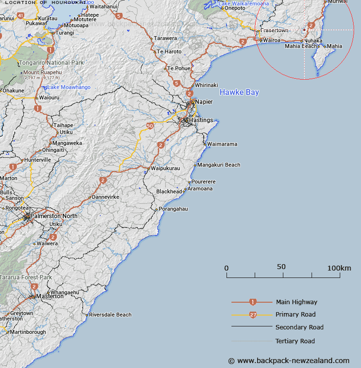
Map showing location of Moumoukai


LINZ description: Trig Station in the headwaters of the Nuhaka River, south of the Hineroa Forest.
Latitude: -38.96053
Longitude: 177.763394
Northing: 5676800
Easting: 2012800
Land District: Hawke's Bay
Feat Type: Trig Station


Scroll down to see a more detailed road map and below that a topographical map showing the location of Moumoukai. The road map has been supplied by openstreetmap and the topographical map of Moumoukai has been supplied by Land Information New Zealand (LINZ).

Yes you can use the top static map for you school/university project or personal website with a link back. Contact me for any commercial use.

Moumoukai Map New Zealand


New Zealand places in our database
[ A ] [ B ] [ C ] [ D ] [ E ] [ F ] [ G ] [ H ] [ I ] [ J ] [ K ] [ L ] [ M ] [ N ] [ O ] [ P ] [ Q ] [ R ] [ S ] [ T ] [ U ] [ V ] [ W ] [ X ] [ Y ] [ Z ]


Closest 20 Trig Stations to Moumoukai

Whakaumuataneteko ( 8.01km )   Whakaumuatanetaako ( 8.01km )   Pukaroronui ( 11.95km )   Rerepi ( 21.84km )   Rarepe ( 21.84km )   Whakapunaki ( 22.3km )   Whakapunake ( 22.3km )   Putoetoe ( 22.71km )   Puto-oe-a-Patua ( 22.71km )   Putoitoi ( 22.71km )   Taupiri ( 23.01km )   Rahuimokairoa ( 27.27km )   Te Tahi ( 34.44km )   Kohirikiriki ( 38.46km )   Koherekireki ( 38.46km )   Te Itanga Mahaki ( 42.49km )   Te Aitangaamahaki ( 42.49km )   Tapapanui ( 50.49km )   Patuwahine ( 59.19km )   Pukaramea ( 67.32km )   Pukakaramea ( 67.32km )   Ngapukeriki ( 71.57km )   Ngapuketurua ( 71.57km )   Mangahaumia ( 73.96km )   Maungahaumi ( 73.96km )   Maungahunia ( 73.96km )   Te Iwiroa ( 78.95km )   Te Iwi Roa ( 78.95km )   Moutohora ( 80.04km )   Motuhora ( 80.04km )   Patuwahine ( 80.25km )   Tutamoi ( 82.63km )   Tutamoe ( 82.63km )   Tawhiti ( 83.23km )   Tawhitiapaka ( 83.23km )   Pukekiore ( 84.75km )   Paripoupou ( 86.69km )   Parepoupou ( 86.69km )   Mapouriki ( 86.96km )   Maporiki ( 86.96km )