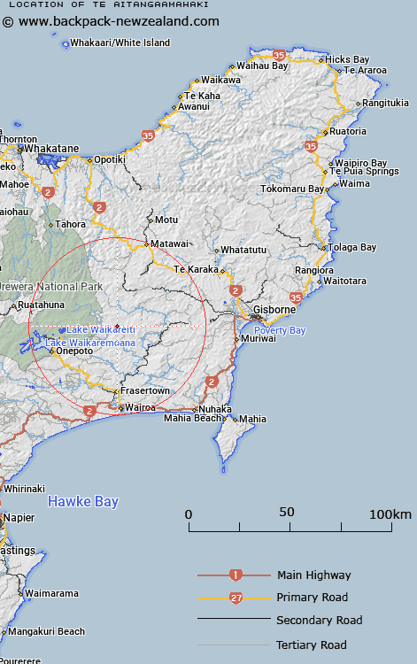
Map showing location of Te Aitangaamahaki


LINZ description: 8km north of Ruakituri.
Latitude: -38.698086
Longitude: 177.406892
Northing: 5707500
Easting: 1983300
Land District: Gisborne
Feat Type: Trig Station


Scroll down to see a more detailed road map and below that a topographical map showing the location of Te Aitangaamahaki. The road map has been supplied by openstreetmap and the topographical map of Te Aitangaamahaki has been supplied by Land Information New Zealand (LINZ).

Yes you can use the top static map for you school/university project or personal website with a link back. Contact me for any commercial use.

Te Aitangaamahaki Map New Zealand


New Zealand places in our database
[ A ] [ B ] [ C ] [ D ] [ E ] [ F ] [ G ] [ H ] [ I ] [ J ] [ K ] [ L ] [ M ] [ N ] [ O ] [ P ] [ Q ] [ R ] [ S ] [ T ] [ U ] [ V ] [ W ] [ X ] [ Y ] [ Z ]


Closest 20 Trig Stations to Te Aitangaamahaki

Koherekireki ( 9.77km )   Kohirikiriki ( 9.77km )   Te Tahi ( 12.4km )   Whakapunaki ( 20.5km )   Whakapunake ( 20.5km )   Ngapukeriki ( 29.61km )   Ngapuketurua ( 29.61km )   Pukaroronui ( 32.03km )   Whakaumuatanetaako ( 35.41km )   Whakaumuataneteko ( 35.41km )   Rerepi ( 39.22km )   Rarepe ( 39.22km )   Moumoukai ( 42.49km )   Pukakaramea ( 45.75km )   Pukaramea ( 45.75km )   Patuwahine ( 46.19km )   Moutohora ( 47.57km )   Motuhora ( 47.57km )   Tapapanui ( 48.49km )   Maungahunia ( 49.59km )   Mangahaumia ( 49.59km )   Maungahaumi ( 49.59km )   Maporiki ( 50.89km )   Mapouriki ( 50.89km )   Tuwatawata ( 57.29km )   Tuawatawata ( 57.29km )   Tawhiwhau ( 59.15km )   Tawhiuau ( 59.15km )   Te Iwi Roa ( 59.81km )   Te Iwiroa ( 59.81km )   Maungawhiorangi ( 59.9km )   Hamutuni ( 61.37km )   Hamutinui ( 61.37km )   Taupiri ( 63.54km )   Patuwahine ( 63.83km )   Putoetoe ( 64.35km )   Putoitoi ( 64.35km )   Puto-oe-a-Patua ( 64.35km )   Pukekiore ( 64.73km )   Tawhiti ( 65.32km )