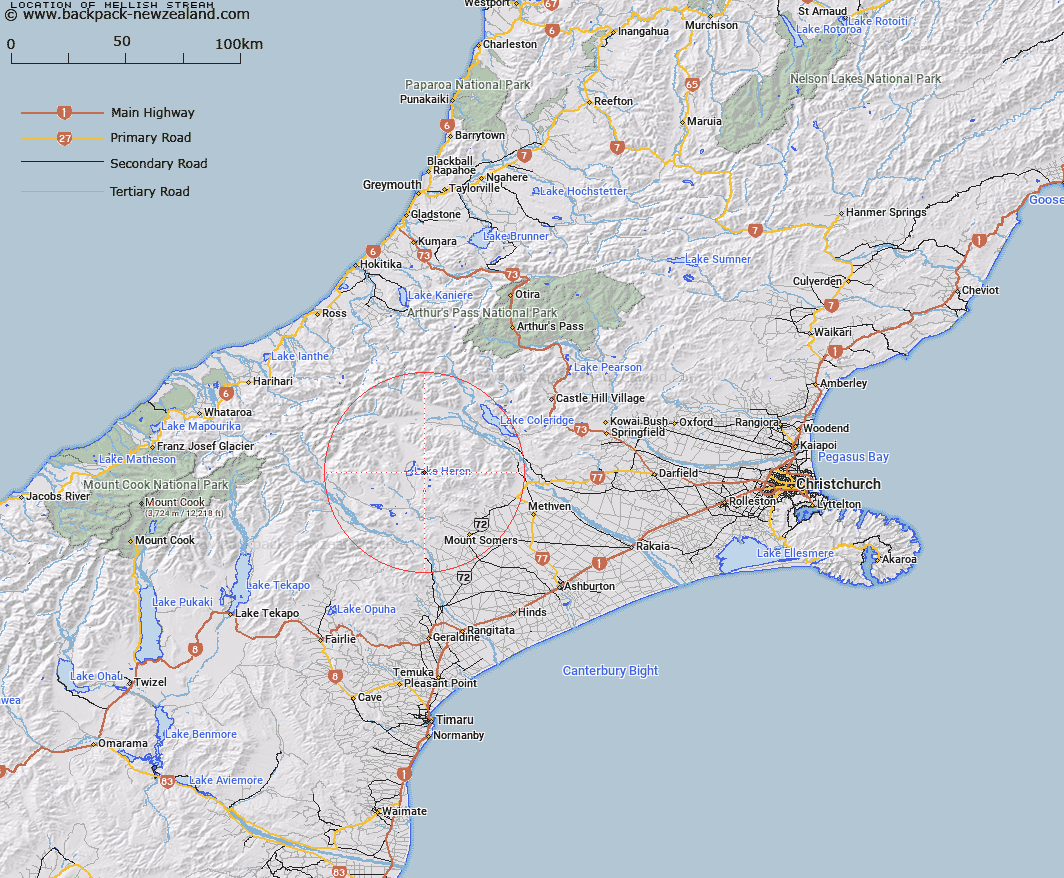
Map showing location of Mellish Stream
LINZ description: Tributary of Lake Heron rising 5.1km East by South-east of Mount Sugarloaf [Trig. M2 (Geodetic Code AN5T)], flowing generally westward and entering Lake Heron in Harrisons Bight, 1.8km South-east of Mount Sugarloaf [Trig. M2 (Geodetic Code AN5T)]. Blocks VIII and XII Heron and Blocks V and IX Somers Survey Districts.
Latitude: -43.479709
Longitude: 171.227208
Northing: 5184385.6
Easting: 1456630.6
Land District: Canterbury
Feat Type: Stream
Latitude: -43.479709
Longitude: 171.227208
Northing: 5184385.6
Easting: 1456630.6
Land District: Canterbury
Feat Type: Stream

Scroll down to see a more detailed road map and below that a topographical map showing the location of Mellish Stream. The road map has been supplied by openstreetmap and the topographical map of Mellish Stream has been supplied by Land Information New Zealand (LINZ).
Yes you can use the top static map for you school/university project or personal website with a link back. Contact me for any commercial use.
[ A ] [ B ] [ C ] [ D ] [ E ] [ F ] [ G ] [ H ] [ I ] [ J ] [ K ] [ L ] [ M ] [ N ] [ O ] [ P ] [ Q ] [ R ] [ S ] [ T ] [ U ] [ V ] [ W ] [ X ] [ Y ] [ Z ]