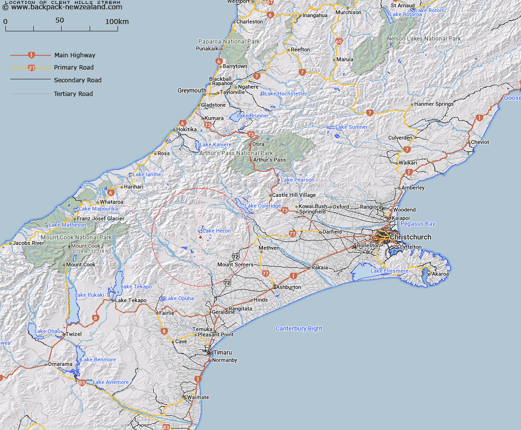
Map showing location of Clent Hills Stream
LINZ description: Right bank tributary of Gentleman Smith Stream rising 600m North-east of Trig. C (Geodetic Code ANFP), flowing South-eastward and joining Gentleman Smith Stream 1km West by South-west of Isolated Hill [Trig. B (Geodetic Code AAE9)]. Blocks XI, XV, and XVI Heron Survey District.
Latitude: -43.524508
Longitude: 171.170765
Northing: 5179311.4
Easting: 1452175.2
Land District: Canterbury
Feat Type: Stream
Latitude: -43.524508
Longitude: 171.170765
Northing: 5179311.4
Easting: 1452175.2
Land District: Canterbury
Feat Type: Stream

Scroll down to see a more detailed road map and below that a topographical map showing the location of Clent Hills Stream. The road map has been supplied by openstreetmap and the topographical map of Clent Hills Stream has been supplied by Land Information New Zealand (LINZ).
Yes you can use the top static map for you school/university project or personal website with a link back. Contact me for any commercial use.
[ A ] [ B ] [ C ] [ D ] [ E ] [ F ] [ G ] [ H ] [ I ] [ J ] [ K ] [ L ] [ M ] [ N ] [ O ] [ P ] [ Q ] [ R ] [ S ] [ T ] [ U ] [ V ] [ W ] [ X ] [ Y ] [ Z ]